
Max. length 8.2 km (5.1 mi) Surface elevation 1,180 m Width 5 km | Max. width 5 km (3.1 mi) Area 220 km² Length 8.2 km Cities Masaka | |
 | ||
Surface area 22,000 ha (54,000 acres) | ||
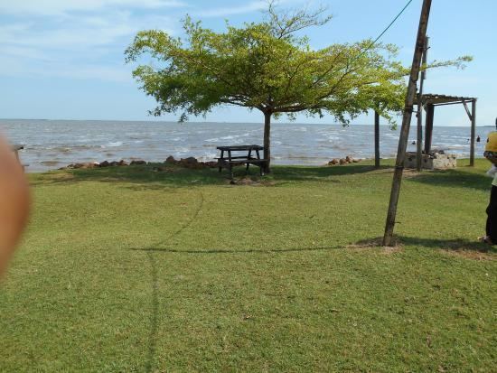
Lake nabugabo it is part of lake victoria situated in uganda
Lake Nabugabo is a small freshwater lake in Uganda.
Contents
- Lake nabugabo it is part of lake victoria situated in uganda
- Map of Lake Nabugabo Uganda
- Beachland for sale lake nabugabo masaka central uganda
- Location
- Overview
- History
- Flora and fauna
- References
Map of Lake Nabugabo, Uganda
Beachland for sale lake nabugabo masaka central uganda
Location
The lake is in Masaka District, Central Region of Uganda, approximately 23 kilometres (14 mi), by road, east of the town of Masaka.
Overview
Lake Nabugabo is a satellite lake of Lake Victoria, being only 4 kilometres (2.5 mi) away from its shores.
The area was chosen as a Ramsar Site (protected area) for its importance for the people and animals.
High human population densities and a reliance on subsistence agriculture are reflected in the heavy dependency of the neighboring community on the lake ecosystem. The poor agricultural practices have impacts on the water quality and food production.
History
Lake Nabugabo was formed as a result of sand dunes resulting from strong winds. This lake is separated from Lake Victoria by a sand bar. An analysis of a 2.7 metres (8.9 ft) long sediment core collected near the center of the lake showed that Lake Nabugabo was isolated from Lake Victoria about 5,000 years ago.