
Elevation 13,232 ft (4,033 m) | ||
 | ||
Mountains Hesperus Mountain, Lavender Peak | ||
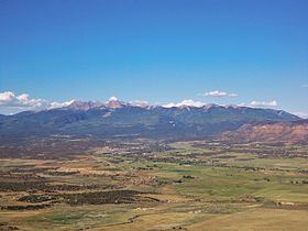
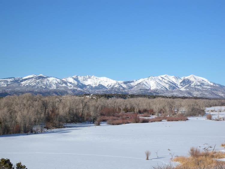
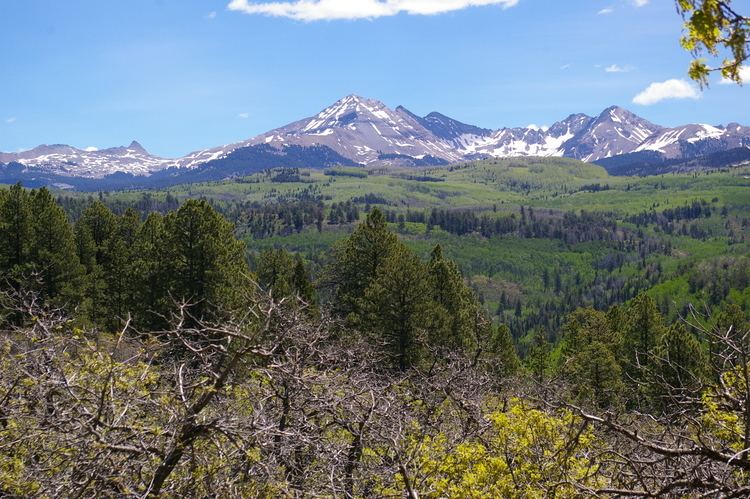
The La Plata Mountains are a small subrange of the San Juan Mountains in the southwestern part of Colorado, United States. They are located on the border between Montezuma and La Plata counties, about 12 miles (19 km) northwest of Durango. Their name is Spanish for silver.
Contents
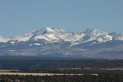
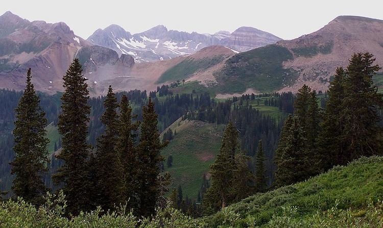
The peaks of the range are easily visible from U.S. Route 160, which skirts the range on the south. The La Plata River and the Mancos River have their headwaters in the range. The Colorado Trail accesses even towards the northern peaks.
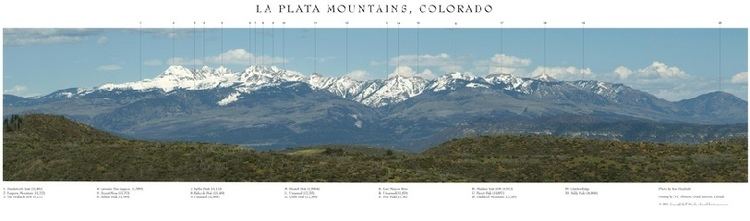
The best-known and highest peak in the La Plata Mountains is Hesperus Mountain, which is the Navajo sacred mountain of the north. The six of the highest summits are listed below.
Moody timelapse of the la plata mountains during a snow storm
Six highest peaksEdit
References
La Plata Mountains Wikipedia(Text) CC BY-SA