
 | ||
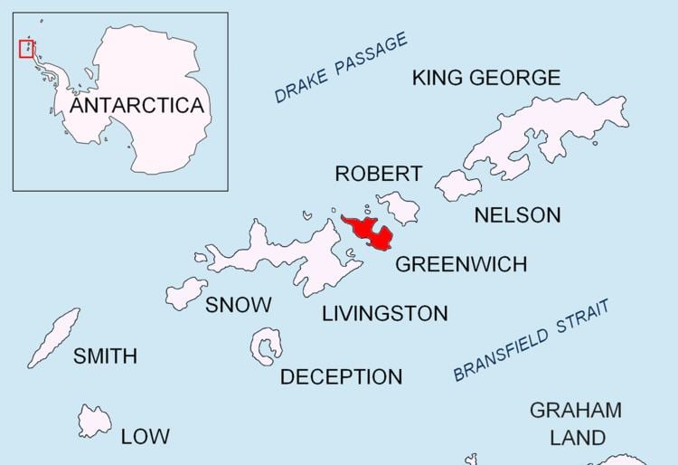
López Nunatak is a steep-sided granitic nunatak, 275 metres (900 ft) high, forming the northern extremity of the Breznik Heights, Greenwich Island in the South Shetland Islands, Antarctica and overlooking Fuerza Aérea Glacier to the south-southwest, and Ash Point and the Chilean Captain Arturo Prat Base to the northwest.
Contents
The feature was charted by the 1947 Chilean Antarctic Expedition and subsequently named after First Lieutenant Sergio López Angulo, Communications Officer in the expedition frigate Iquique.
Location
The peak is located at 62°28′57.8″S 59°38′31″W which is 4.38 km northwest of Bogdan Ridge and 1.87 km north-northeast of Rousseau Peak (British mapping in 1968, and Bulgarian in 2005 and 2009).
Maps
References
López Nunatak Wikipedia(Text) CC BY-SA