
Elevation 1,925 m | ||
 | ||
Similar Mount Kirigamine, Utsukushigahara, Mount Tateshina, Mount Norikura, Mt Yokodake | ||
2016 kurumayama rama fhd snowboard free riding
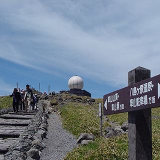
Kurumayama (車山) is small mountain in Nagano Prefecture Japan.
Contents
- 2016 kurumayama rama fhd snowboard free riding
- Map of Kurumayama Shiga Suwa Nagano Prefecture 392 0012 Japan
- 110330 kurumayama
- References
Map of Kurumayama, Shiga, Suwa, Nagano Prefecture 392-0012, Japan
Coordinates: Latitude : 36.100, Longitude : 138.200; [1]. Google map: [2]
The south-east side of Kurumayama is grassy which allows easy paragliding. The north-west side is covered with forest.
The car access to the bottom of Kurumayama does not require the four-wheel drive, but at heavy snow, snow chains may help a lot.
Closest mounts: mount Kirigamine at south, mount Royal Hill at north-west;
The same name (Kurumayama) is used for the complex of ski-lifts at south-west from Kurumayama, although actually, those ski-lifts operate mainly at the north slope of the neighbor Mount Kirigamine.
110330 kurumayama
References
Kurumayama Wikipedia(Text) CC BY-SA