
 | ||
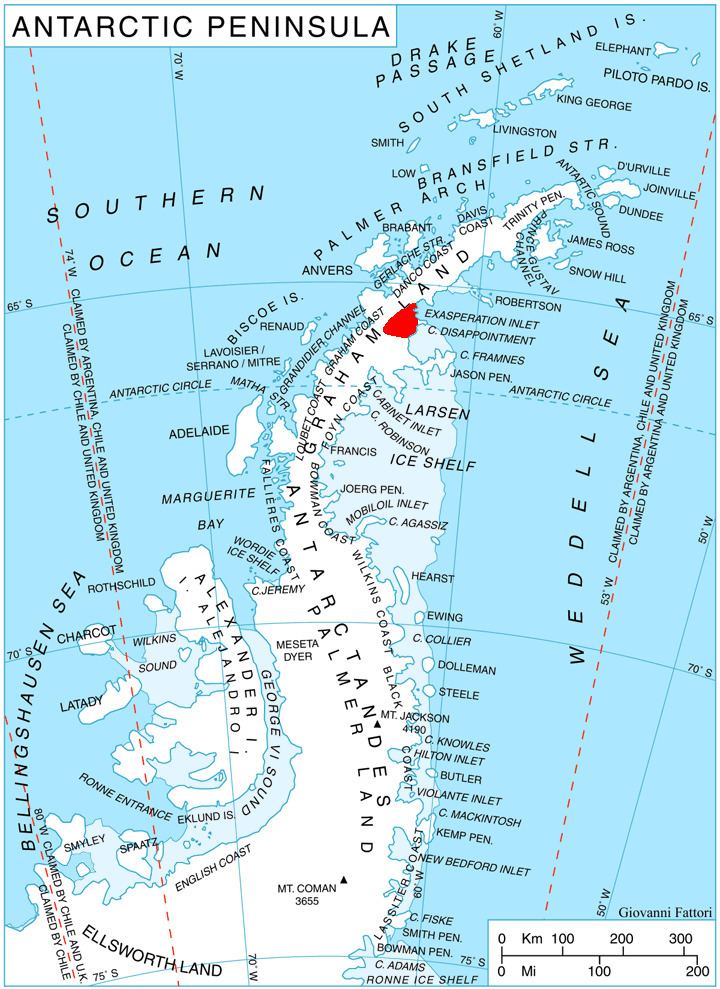
Krupen Ridge (Bulgarian: Крупенски хребет, ‘Krupenski Hrebet’ \'kru-pen-ski 'hre-bet) is the rocky ridge extending 15.2 km in east-west direction, 4.6 km wide, and rising to 1050 m in eastern Aristotle Mountains on Oscar II Coast in Graham Land. It surmounts Pequod Glacier to the north and Rachel Glacier to the south. The feature is named after the settlement of Krupen in Northeastern Bulgaria.
Contents
Location
Krupen Ridge is located at 65°33′30″S 62°10′13″W. British mapping in 1976.
Maps
References
Krupen Ridge Wikipedia(Text) CC BY-SA