
Major islands Kondul Elevation 92 m Literacy 84.4% Area code 03192 Adjacent body of water Indian Ocean | Total islands 1 Length 2.6 km (1.62 mi) Area 155 ha Postal code 744301 | |
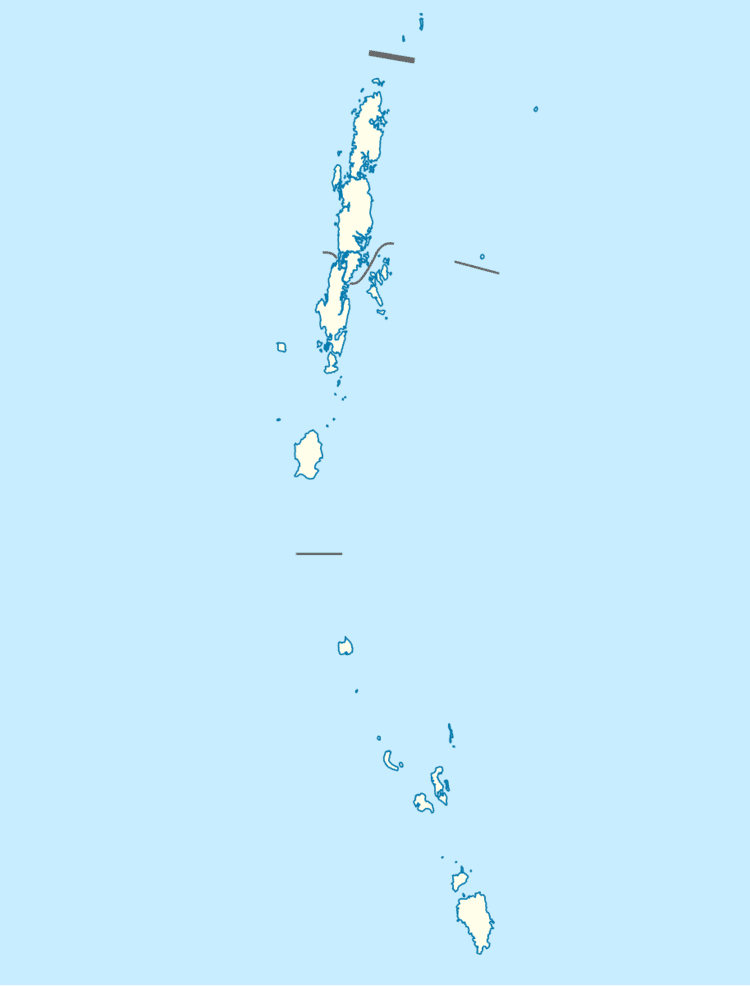 | ||
Kondul Island is a small island of the Nicobar Islands in India.
Contents
- Map of Kondul Island Nicobar Andaman and Nicobar Islands 744302
- History
- Geography
- Administration
- Demographics
- References
Map of Kondul Island Nicobar, Andaman and Nicobar Islands 744302
History
It was hit by the 2004 tsunami. After the Tsunami the surviving population moved to Great Nicobar. at 2015 2 elders have returned to the island and they renovated the jetty. Poachers from Myanmar are doing illegal fishing around the island regularly.
Geography
The island is located in the Bay of Bengal, halfway between Great Nicobar and Little Nicobar in the St. George's Channel, and measures 2.6 km long and 0.95 km of maximum width for an area of 1.55 km2 (0.60 sq mi).
Administration
The island belongs to the township of Great Nicobar of Little Nicobar Taluk.
Demographics
Mayaiya village is inhabited and has a radio antenna.
References
Kondul Island Wikipedia(Text) CC BY-SA