
Length 123 km | ||
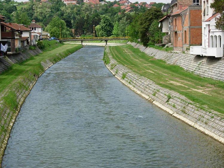 | ||
The Kolubara (Serbian Cyrillic: Колубара, [kɔlǔbara]), is a 123 km-long river in western Serbia; it is an eastern tributary to the Sava river.
Contents
- Map of Kolubara Serbia
- General overview
- Upper Kolubara
- Lower Kolubara
- Kolubara coal basin
- Characteristics
- References
Map of Kolubara, Serbia
General overview
Kolubara originates as Obnica in the Podgorina region of Western Serbia, on Povlen mountain under Medvednik peak. It flows to the North, next to the village of Bobova, bends to the West (in this part the river is also known as Jadar), and at the city of Valjevo meets the river Jablanica from the South and forms Kolubara, as the river is known for the remaining course. The Obnica is 25 km long.
Jablanica also originates from the Povlen mountain, just few kilometers away from Obnica, under Jablanik peak. It curves around Parač mountain and next to the village of Balinović, before it meets Obnica in Valjevo. Jablanica is 24 km long.
This is also the beginning of the 90 km long region of the Kolubara valley, divided in two large parts, referred to as Upper (gornja) Kolubara and Lower (donja) Kolubara (around the Belgrade's suburb of Obrenovac).
Upper Kolubara
At Valjevo, the Kolubara receives the river Gradac from the right and forms the Valjevo valley between the surrounding mountains, in which it spills in several parallel flows. After Valjevo, the most populous city in western Serbia, there are no major settlements on the river, except for the villages of Mlađevo and Slovac and the river receives the right tributaries of Ribnjača and Lepenica and the left tributary of Rabas . At Slovac, near the confluence of the right tributary of the Toplica, the Kolubara carved the epigenetic Slovačka sutjeska, which separates Upper and Lower Kolubara. Upper Kolubara constitutes most of the modern Kolubara District of Serbia.
Lower Kolubara
The Kolubara turns north and continues to flow in several parallel flows, receiving in this section its major tributaries: Ljig River, Turija, Lukavica and Peštan, from the right; Kladnica and Tamnava, from the left. Due to the floods, even though its valley is densely populated, there are no settlements on the river itself, until it reaches Obrenovac, few kilometers before it empties into the Sava (only navigable near its mouth in Sava). However, many large villages and towns are located in the vicinity of the Kolubara: Lajkovac, Jabučje, Lazarevac, Šopić, Skobalj, Vreoci, Mali Borak, Veliki Crljeni, Draževac, Mislođin and Barič, where it flows into the Sava.
Lower Kolubara itself is divided in two sub-regions, the (upper) Kolubara coal basin and the (lower) Obrenovac micro-region.
Kolubara coal basin
In Neogene, the region of Kolubara was a huge bay of the Pannonian Sea (Kolubarski zaliv) As a result of abundant vegetation in the ancient sea, region of Kolubara and neighboring Tamnava (around Kolubara's longest tributary) today are immense lignite field which covers over 1.200 km². It is estimated that coal deposits are as much as 22 billion tons, with coal layers being to 50 m deep, and over 20 million tons of coal are being extracted each year. Major mines are Rudovci, Kolubara (at Veliki Crljeni) and Kosmaj, with many surface digs being developed lately.
A series of coal based power stations are built in the basin, including Kolubara (130 MW, at Veliki Crljeni), Nikola Tesla B-1 (in 1983) and Nikola Tesla B-2 (both 615 MW, in Obrenovac).
Because of its importance for industry and economy in general, the municipality of Lazarevac, to which the coal basin mainly belongs, was attached administratively to the City of Belgrade in 1971.
After three years, on September 19, 2007 the river course between Vreoci and Veliki Crljeni was transferred to the new artificial river bed. This will allow the opening of a new surface coal field Veliki Crljeni in September 2008 with an estimated coal reserves of over 30 million tons.
The mining projects at Kolubara have been plagued with corruption: in 2011, 16 current and former members of Elektroprivreda Srbije, the operator, were arrested on suspicion of embezzlement. In addition to this, resettlement procedures for affected local communities were, according to civil society organizations, not executed in accordance with Serbian law.
Characteristics
Due to the lots of long tributaries which create branchy system within the river's drainage area, the short Kolubara drains relatively large area of 3.639 km². It belongs to the Black Sea drainage basin.
The river is not navigable, but its valley is very important for transportation. Here are located Belgrade-Valjevo road, parts of Belgrade-Šabac road, Ibarska magistrala (Highway of Ibar) and the Belgrade-Bar railway.
The Kolubara was the site of one of the major battles on the Balkans in the World War I, the Battle of Kolubara in 1914.