
Settlements 1 Time zone CET (UTC+1) Area 384 km² | Elevation 161 m (528 ft) Postal code 11550 Local time Tuesday 1:57 AM | |
 | ||
Weather 6°C, Wind SW at 5 km/h, 84% Humidity | ||
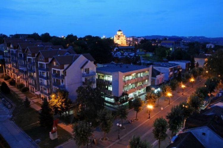
Mtb street view 133 serbia aran elovac tour 4 lazarevac and ibar hwy to stepojevac 08 2014
Lazarevac (Serbian Cyrillic: Лазаревац, [lazareʋat͡s]) is a suburban neighborhood and one of 17 city municipalities which constitute the city of Belgrade. Its name stems from the name of medieval Prince Lazar Hrebeljanovic. As of 2011, the town has a total population of 25,526 inhabitants, while the municipal area has a total of 58,622 inhabitants.
Contents
- Mtb street view 133 serbia aran elovac tour 4 lazarevac and ibar hwy to stepojevac 08 2014
- Map of Lazarevac Serbia
- Mtb street view 133s serbia aran elovac tour 4 lazarevac and ibar hwy to stepojevac 08 2014
- Demographics
- Economy
- Attractions
- References
Map of Lazarevac, Serbia
Mtb street view 133s serbia aran elovac tour 4 lazarevac and ibar hwy to stepojevac 08 2014
Demographics
The municipality of Lazarevac has a total population of 58,622 inhabitants, according to the 2011 census results.
Economy
Lazarevac is the home to the Serbian largest coal mining and smelting complex RB Kolubara.
Attractions
In Baroševac on the bank of the Kolubara grow a grove of giant sequoia trees which were brought from California to be studied and planted in Europe. The trees had only reached a height of 30m as of 2011, and are continuing to be studied as they develop in this manufactured habitat.