
Major highways NH-4, NH-204 Literacy 89% Average annual precipitation 0 | Area 7,685 km² Tehsil 1. | |
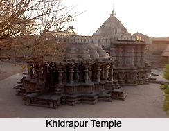 | ||
Tehsils 1. Kagal, 2. Karveer, 3. Bhudargad, 4. Panhala, 5. Gadhinglaj, 6. Shirol, 7. Hatkanangale, 8. Ajara, 9. Chandgad, 10. Gaganbawada, 11. Radhanagari, 12. Shahuwadi Points of interest Mahalakshmi Temple - Kolhapur, Jyotiba, Panhala Fort, Rankala Lake, Bhavani Mandap Destinations Kolhapur, Sangli, Panhala, Ichalkaranji, Radhanagari | ||
Kolhapur district is in Maharashtra state. The city of Kolhapur is the district headquarters. As of 2011, the district had population of 3,876,001, of which 33% were urban.
Contents
Map of Kolhapur, Maharashtra
Demographics
According to the 2011 census Kolhapur district has a population of 3,874,015, This gives it a ranking of 65th in India (out of a total of 640). The district has a population density of 504 inhabitants per square kilometre (1,310/sq mi). Its population growth rate over the decade 2001-2011 was 9.96%. Kolhapur has a sex ratio of 953 females for every 1000 males.
The district has two centres of tourism, the Mahalaxmi temple in the town of Kolhapur and the Bahubali statue and festival at Atigre village.i
References
Kolhapur district Wikipedia(Text) CC BY-SA