
Time zone IST (UTC+5:30) ISO 3166 code ISO 3166-2:IN | Local time Sunday 2:36 AM | |
 | ||
Weather 27°C, Wind W at 10 km/h, 69% Humidity | ||
Shirol is an industrial area and tehsil in Ichalkaranji subdivision of Kolhapur district in the Indian state of Maharashtra.
Contents
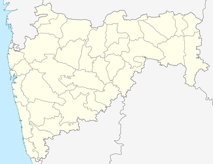
Map of Shirol, Maharashtra
Shirol industrial area is rapidly developing with new industries coming up. Major among them are sugar factories and auto ancillaries.
Shirol is coming up as a satellite suburb of Sangli city and is 10 km from Sangli. Shirol is linked to Sangli and Miraj twin cities by MSRTC city bus service. Travel time from Shirol to Sangli is just 15 minutes.
Kannada, the dominant native language of the town, is spoken along with official Marathi.
Transport
From Mumbai and Pune, take NH4 national highway to Peth by the state highway 138 to Sangli. Then travel by state highway SH75 from Sangli to Shirol. Shirol is 17 km from Sangli city.
Nearest railway junction
Miraj railway station is connected to major cities by express and superfast trains. You can take MSRTC city buses, auto rickshaws and private cars from Miraj to Shirol. Travel time is 15–20 minutes.
Other railway stations
Express trains travelling on Pune-Miraj-Bangalore main line stop at Sangli railway station. One can take MSRTC city buses, auto rickshaws and private cars from Sangli to Shirol. Travel time is 15–20 minutes.