
PIN 416216 Elevation 553 m Area code 02325 | Time zone IST (UTC+5:30) Telephone code 02325 Population 23,775 (2001) Local time Friday 9:53 PM | |
 | ||
Weather 26°C, Wind W at 13 km/h, 41% Humidity Neighborhoods Dr. Babasaheb Ambedkar Nagar, Patil Galli | ||
Road trip 2017 the south chapter ep 2 kagal bengaluru south india royal enfield
Kagal is a town lying in Kolhapur district of the Indian state of Maharashtra.
Contents
- Road trip 2017 the south chapter ep 2 kagal bengaluru south india royal enfield
- Map of Kagal Maharashtra
- History
- Rajput dynasty split and branches
- Geography
- Demographics
- Notable locals
- The Kagal Hatkanangale industrial area
- Infrastructure in Kagal Hatkanangale industrial area
- Sports
- Temples
- References
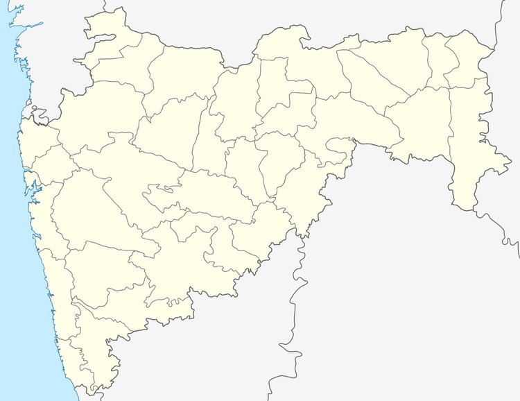
Map of Kagal, Maharashtra
History
During the rule of the Marathas and British raj, the town was the seat of a noble Ghatge Maratha family who were among the most important in princely state of Kolhapur.
Sultan Mahmud Padshah, the Muslim ruler of Bijapur, rewarded in 1572 the Kagal dynasty founder Piraji Raje, an adventurous Rajput warrior from Udaipur (Mewar Kingdom in Rajputana) of the Rathod clan, known as Zunzar Rao (Valiant Fighter), with the title Sarjerao and the Kagal pargana, then consisting of 69 and a 1/2 villages, as a Jagir (vassal estate) within the princely state of Kolhapur (later a salute state). The name of his dynastic line came corrupted to Ghatge 'Jump ahead'. During incessant 19th century warfare and depredations, some of the villages were lost, reducing their number to 41, covering 298 km2, as guaranteed by article 3 of the Treaty entered into by the Maharaja of Kolhapur with the British Government in 1826.
Rajput dynasty, split and branches
Under the last chief of all Kagal, the estate was split into two jagirs, with the title of Sarjerao remaining with the Junior line, while the Senior line enjoy the title of “Sarjerao Vajarat-ma-ab”.
Geography
Kagal is a taluka in Kolhapur district. It is located at boundary of Maharashtra and Karnataka. The Chatrapati Shahu Sahakari Sakar Karkhana is located here. The Dudhganga river passes through Kagal. Kagal is located at 16.58°N 74.32°E / 16.58; 74.32. It has an average elevation of 553 metres (1814 feet).
Demographics
As of 2001 India census, Kagal had a population of 23,775. Males constitute 51% of the population and females 49%. Kagal has an average literacy rate of 71%, higher than the national average of 59.5%: male literacy is 78%, and female literacy is 64%. In Kagal, 12% of the population is under 6 years of age. Marathi is the predominant native language spoken here,it being the official language.
Notable locals
Kanal is the birthplace of Chatrapati Shahu Maharaj. The Sahitya Academy Award winner Anand Yadav born in this city. Gopal Krishna Gokhale did his primary education at Kagal.
The Kagal-Hatkanangale industrial area
The Kagal-Hatkanangale industrial area is situated 12 km from Kolhapur city and the airport.
The nearest railway station is at Kolhapur 13 km away from the industrial area and which is well connected with almost all the cities of India. The industrial area is located 3 km from the National Highway 4 (Mumbai-Bangalore).
The Karnataka State boundary is just 3 km from this estate and Belagavi, a city just 70 km from the estate.
Nearest port is Kolhapur (12 km) Ratnagiri port is 110 km and Panaji(Goa)and Dabolim airport 210 km. Two other major cities Pune and Mumbai are well connected with the National Highway and railways.
The other major industrial areas: Shiroli, Udyamnagar in Kolhapur and Gokul-shirgaon are just 12 km, 15 km and 5 km from this area & the main Industry is being now named 5-star MIDC there are a lots of very big budget companies coming. Some information about 5-start MIDC is given below.
Infrastructure in Kagal-Hatkanangale industrial area
Sports
Kagal has got history of Shahu Maharaj, who was also known as a great wrestler. Being called a City of Wrestlers, Kagal has produced many sportsman in various games like wrestling, volleyball. Like any other town in Kolhapur district Kagal lacks professionalism in sports and could not produce sportsmen at higher level. There is a huge cricket ground near NH4 but it is not being utilized properly. A lot of expectations are there from local politics to give support for development of sports culture in Kagal and surrounding area.