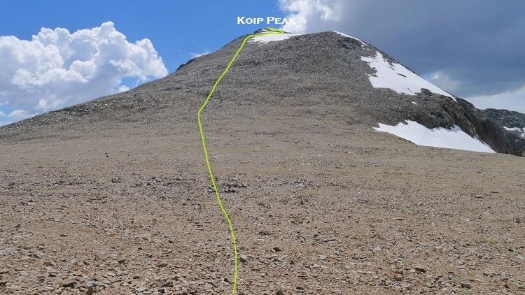
First ascent 1919 by Walker Huber Prominence 49 m | Topo map USGS Koip Peak Elevation 3,953 m | |
 | ||
Easiest route Hike from Koip Peak Pass, class 1 Parent ranges Ritter Range, Sierra Nevada Similar Kuna Peak, Vogelsang Peak, Mount Lyell, Mount Ritter, Mount Gibbs | ||
Koip Peak is a summit in Mono County, California, in the United States. It is located within Yosemite National Park. With an elevation of 12,968 feet (3,953 m), Koip Peak is the 160th highest summit in the state of California.
Map of Koip Peak, California 93541, USA
Koip is derived from a Native American name meaning "mountain sheep". Bighorn sheep roam in the area.
References
Koip Peak Wikipedia(Text) CC BY-SA
