
Palestine grid 165/155 Name meaning Kubar, personal name | Elevation 640 m | |
 | ||
Weather 14°C, Wind W at 21 km/h, 52% Humidity | ||
Kobar (Arabic: كوبر) is a Palestinian village in the Ramallah and al-Bireh Governorate in the northern West Bank, located 13 kilometers (8.1 mi) northwest of Ramallah. Kobar is bordered by Burham village to the east, Jibiya and Umm Safa lands to the north, al-Ittihad to the west, and al-Zaitounah and Bir Zeit lands to the south. Kobar is located at an altitude of 670 meters (2,200 ft) above sea level with a mean annual rainfall of 669.8 mm. The average annual temperature is 16 c and the average annual humidity is approximately 61% .
Contents
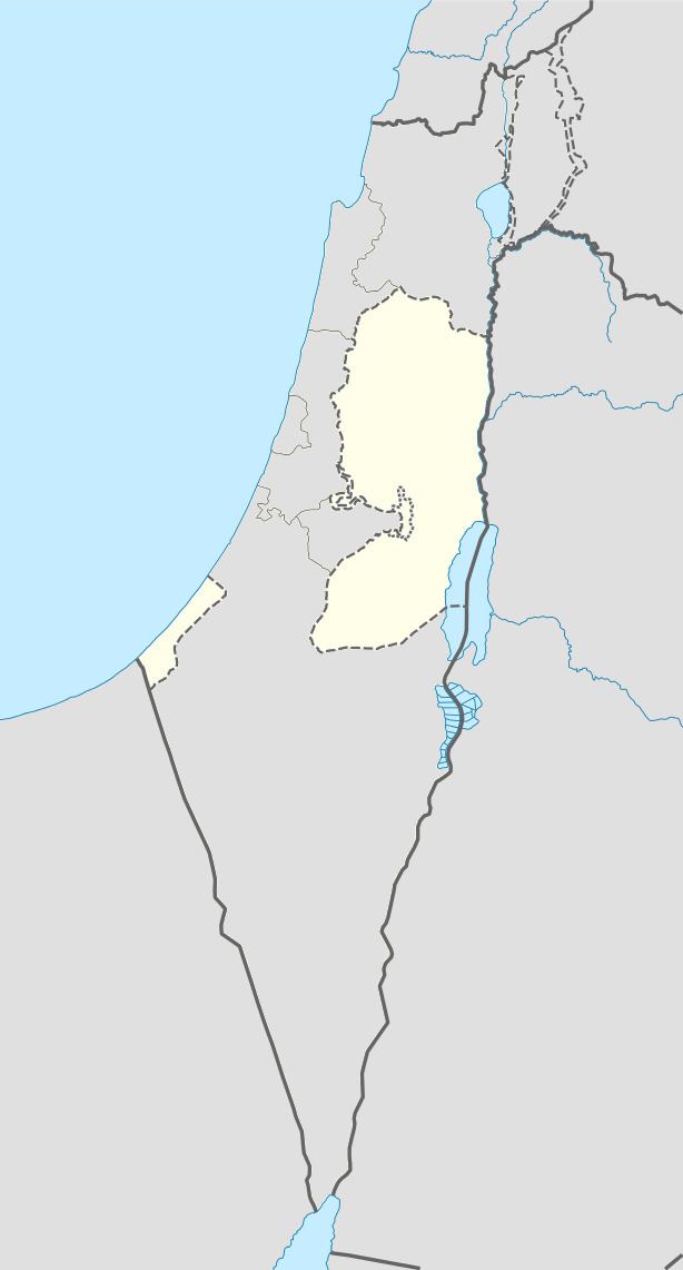
- Map of Kaubar
- History
- Ottoman era
- British Mandate era
- 1948 1967
- 1967 present
- Notable people from Kobar
- References
Map of Kaubar
Since 1996, Kobar has been governed by a village council which is currently administrated by 11 members appointed by the Palestinian National Authority. There are two further employees working in the council; the village council owns a permanent headquarters and is included within a Joint Services Council for neighboring localities.
History
According to the Kobar Village Council, the name "Kobar" means "the place where the gypsum was" on account of it once containing abundant gypsum deposits.
Potsherds from the Iron Age, Persian/Hellenistic, Byzantine, Crusader/Ayyubid, Mamluk and early Ottoman periods have been found in the village. The oldest sherds were found on the north and south slopes of the village, while Byzantine sherds were found on the west side.
Ottoman era
Kobar, like the rest of Palestine, was incorporated into the Ottoman Empire in 1517, and in the census of 1596, the village was located in the Nahiya of Quds of the Liwa of Quds. The population was 31 households, all Muslim. They paid taxes on wheat, barley, vineyards, fruit trees, occasional revenues, goats and/or beehives.
In 1863 the French explorer Victor Guérin visited the village. He noted it had 600 inhabitants, and a mosque dedicated to a Sheikh Ahmed. An Ottoman village list of about 1870 showed Kobar with a population of 220, in 48 houses, though the population count included men only.
In 1882, the Palestine Exploration Fund's Survey of Western Palestine described Kobar as a "small village on a hill-top, with rock-cut tombs, and a tank, surrounded by olives."
British Mandate era
In the 1922 census of Palestine conducted by the British Mandate authorities, Kubar had a population of 447, three Christians, and the rest Muslim. This had increased by the time of the 1931 census to 546, all Muslim, in 122 houses.
In 1945 the population was 610, all Muslims, while the total land area was 9,678 dunams, according to an official land and population survey. Of this, 3,512 were allocated for plantations and irrigable land, 1,434 for cereals, while 33 dunams were classified as built-up areas.
1948-1967
In the wake of the 1948 Arab–Israeli War, and after the 1949 Armistice Agreements, Kobar came under Jordanian rule.
1967-present
After the Six-Day War in 1967, Kobar has been under Israeli occupation.
In 2008, the preacher at the local mosque in Kobar, Majed Barghouti, 44, died while in detention. His relatives alleged that he had been tortured.