
 | ||
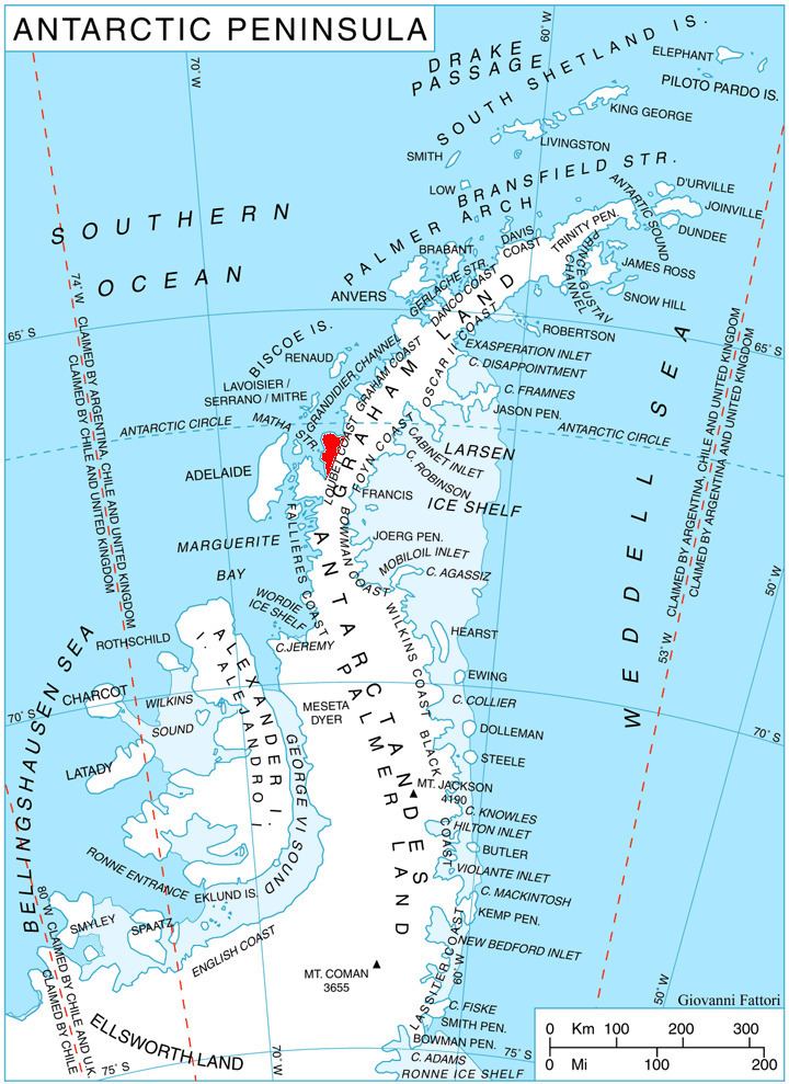
Klepalo Hill (Bulgarian: хълм Клепало, ‘Halm Klepalo’ \'h&lm kle-'pa-lo) is the ice-covered hill of elevation 700 m on Pernik Peninsula, Loubet Coast in Graham Land, Antarctica. It surmounts Dabrava Glacier to the south-southwest and Lallemand Fjord to the west.
Contents
The hill is named after the settlement of Klepalo in Southwestern Bulgaria.
Location
Klepalo Hill is located at 66°56′30″S 66°26′52″W, which is 3.4 km south-southeast of Orford Cliff, 5 km west of Tammann Peaks and 12.2 km northeast of McCall Point. British mapping in 1976.
Maps
References
Klepalo Hill Wikipedia(Text) CC BY-SA