
 | ||
Dabrava Glacier (Bulgarian: ледник Дъбрава, ‘Lednik Dabrava’ \'led-nik d&-'bra-va) is the 14 km long and 4.5 km wide glacier on Pernik Peninsula, Loubet Coast in Graham Land, Antarctica, situated southwest of Murphy Glacier and north of Sölch Glacier. It drains the west slopes of Mount Deeley, flows northwestwards and enters Lallemand Fjord southwest of Orford Cliff.
Contents
The glacier is named after the settlements of Dabrava in Northern, Northeastern, Southern and Southwestern Bulgaria.
Location
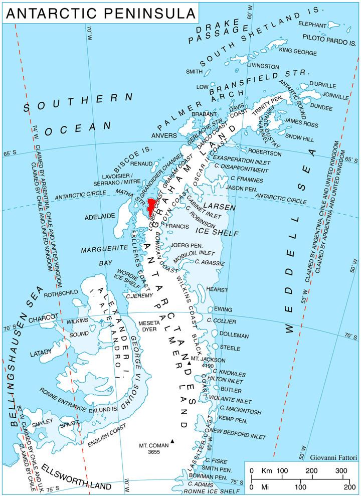
Dabrava Glacier is centred at 66°58′30″S 66°28′00″W. British mapping in 1976 and 1978.
Maps
References
Dabrava Glacier Wikipedia(Text) CC BY-SA