
Time zone EAT (UTC+3) Local time Thursday 12:54 AM Number of airports 1 | Elevation 1,890 m Population 107,806 (2009) | |
 | ||
Weather 17°C, Wind E at 2 km/h, 81% Humidity University Kitale Technical Training Institute Neighborhoods Line Member, Machinjoni, Laini-Moja, Milimani | ||
Safarilink starts daily flights to kitale as it adds more domestic routes
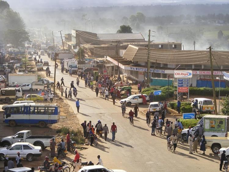
Kitale is an agricultural town in northern rift valley Kenya situated between Mount Elgon and the Cherangani Hills at an elevation of around 1,900 metres (6,200 ft). Its population is 106,187 as of 2009.
Contents
- Safarilink starts daily flights to kitale as it adds more domestic routes
- Map of Kitale Kenya
- Kitale kenya
- References
Map of Kitale, Kenya
The National Museum of Western Kenya is located at Kitale. It is a natural history museum and was originally created by Lt Col. Hugh Stoneham in 1926.
Kitale kenya
References
Kitale Wikipedia(Text) CC BY-SA