
Elevation AMSL 6,070 ft / 1,850 m 4,757 1,450 Elevation 1,850 m | 22/04 4,757 Code KTL | |
 | ||
Similar Airtel Money Wameya, Kenya Seed Co Ltd, Kitale club, Kitale Law Courts, Oilibya Elgon Road | ||
Location
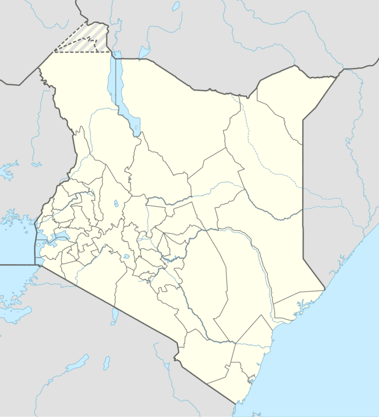
Kitale Airport (IATA: KTL, ICAO: HKKT) is located in the town of Kitale, Trans-Nzoia County, in northwestern Kenya, close to the International border with the Republic of Uganda.
Its location is approximately 336 kilometres (209 mi), by air, northwest of Nairobi International Airport, the country’s largest civilian airport. The geographic coordinates of this airport are:0° 58' 30.00"N, 34° 57' 36.00"E (Latitude:0.975000; Longitude:34.960000).
Overview
Kitale Airport is a small airstrip commonly referred to as kambi miwa airstrip by the local people, the airstrip serves the town of Kitale and surrounding communities. Situated at 6,070 feet (1,850 m) above sea level, the airport has a single asphalt runway which measures 4,757 feet (1,450 m) in length and 57 feet (17 m) in width.