
Sub-Region Rwenzururu | ||
 | ||
Women s dance group at kikorongo queen elizabeth national park uganda
Kikorongo, also Kikorongo Junctiom, is a settlement in Kasese District, in the Western Region of Uganda.
Contents
- Women s dance group at kikorongo queen elizabeth national park uganda
- Map of Kikorongo Uganda
- The kikorongo dance
- Location
- Points of interest
- References
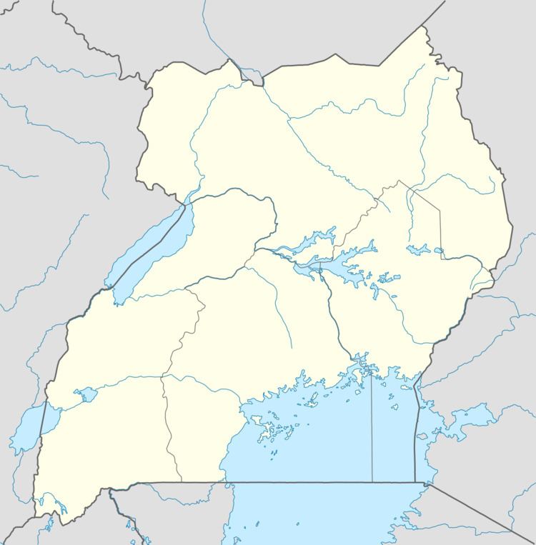
Map of Kikorongo, Uganda
The kikorongo dance
Location
The town is located on the Fort Portal–Kasese–Mpondwe Road, about 25 kilometres (16 mi) south of Kasese. This is about 38 kilometres (24 mi) east of Mpondwe, the town at the international border with DR Congo. The coordinates of Kikorongo are: 0°00'00.0"N, 29°59'55.0"E (Latitude:0.000005; Longitude:29.998618). As one can deduce from the latitude, the settlement sits directly at the Equator.
Points of interest
The Fort Portal–Kasese–Mpondwe Road joins the Kikorongo–Ishaka Road at Kikorongo.
References
Kikorongo Wikipedia(Text) CC BY-SA