
Length 133.6 km | ||
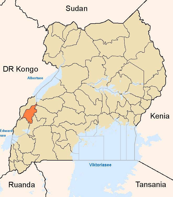 | ||
The Fort Portal–Kasese–Mpondwe Road also Fort Portal–Mpondwe Road, is a road in the Western Region of Uganda, connecting the towns of Fort Portal, Hima, Kasese, Kikorongo and the border town of Mpondwe.
Contents
- Map of Fort Portal Mpondwe Rd Uganda
- Location
- Upgrade to bituminous surface
- Points of interest
- References
Map of Fort Portal-Mpondwe Rd, Uganda
Location
The road starts at Fort Portal, the headquarters of Kabarole District. It travels southwestwards through Rwimi, Hima, Kasese and Kikorongo. At Kiorongo, the road makes a 90 degree turn westwards to end at Mpondwe, at the international border with the Democratic Republic of the Congo, a total distance of about 134 kilometres (83 mi). The coordinates of the road at Kikorongo are:0°00'00.0"N, 29°59'55.0"E (Latitude:0.000003; 29.998607).
Upgrade to bituminous surface
This road was improved to class II bituminous surface before 2013.
Points of interest
The following lie along or near this road
References
Fort Portal–Kasese–Mpondwe Road Wikipedia(Text) CC BY-SA