
 | ||
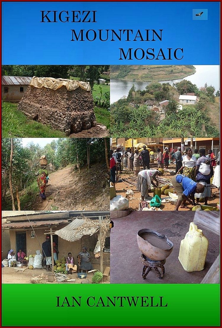
Kigezi District once covered what are now Kabale District, Kanungu District, Kisoro District and Rukungiri District, in southwest Uganda. Its terraced fields are what gives this part of Uganda its distinctive character. Kigezi was popularly known as the Switzerland of Africa. The coordinates for the region are: Latitude:01 13 20S, 29 53 20E.
Contents
Constituencies
Before its division into the districts shown as above, Kigezi consisted of counties of:
After the division of Kigezi into the four (4) current districts, they were named after their respective main towns, namely Kabale, Kanungu, Kisoro and Rukungiri.
People
The four modern district of the former Kigezi District are inhabited predominantly by the Bakiga, Bahororo and Banyarwanda people. All these ethnic groups share the same characteristics and traditions. Paul Ngologoza’s book Kigezi and Its People provides detailed information about the Bakiga people, their traditions and history.
The region is uniquely characterized by the African Great Lakes, which include Lake Bunyonyi, Lake Edward, Lake Mutanda and Lake Kyahafi. Kigezi is also the location of the volcanic mountains known as Muhavura Mountains, and Bwindi National Forest with its famous gorilla population. There are very high mountain ranges, particularly in Kabale District, Kisoro District and Kanungu District. In the intervening valleys, often one finds expansive swampy areas, some of which, particularly those in Kabale District, have been reclaimed for pastureland.