
 | ||
Management Wisconsin Department of Natural Resources | ||
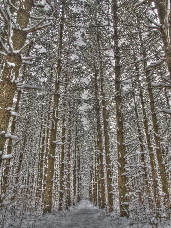
Kettle moraine state forest northern unit scenic drive
The Kettle Moraine State Forest is a state forest in southeastern Wisconsin. The chief feature of the reserve is the Kettle Moraine, a highly glaciated area. The area contains very hilly terrain and glacial landforms, such as kettles, kames and eskers. The 56,000-acre (23,000 ha) forest is divided into two large and three small units, which are spread across a hundred miles.
Contents
- Kettle moraine state forest northern unit scenic drive
- Map of Kettle Moraine State Forest Kewaskum WI 53040 USA
- Forest units
- References
Map of Kettle Moraine State Forest, Kewaskum, WI 53040, USA
The forest includes 250 miles (400 km) of hiking trails, almost 100 miles (160 km) of cross-country ski trails, 130 miles (210 km) of equestrian trails, 150 miles (240 km) of snowmobile trails, 75 miles (121 km) of off-road bicycle trails including 30 miles (48 km) of singletrack trail, and 750 campsites.
All units include a portion of the Ice Age National Scenic Trail and most units have horse/snowmobile trails. Several areas of trail loops for hiking, biking and skiing can be found in the northern and southern units.
Kettle Moraine Scenic Drive is a 115-mile (185 km) scenic route that winds across southeastern Wisconsin, and through all five forest units.