
Length 185.1 km | ||
 | ||
North end: CTH-P / CTH-J near Elkhart Lake | ||
Motovlog kettle moraine scenic drive
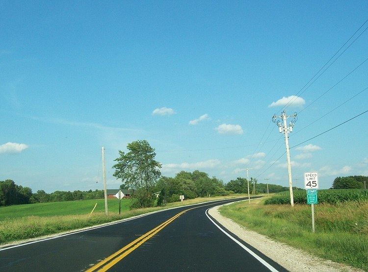
The Kettle Moraine Scenic Drive is a designated scenic route in southeastern Wisconsin that links the two units of the Kettle Moraine State Forest. The route traverses through scenic and historic areas, including landscape shaped by glaciers from the latest ice age, known as the Wisconsin glaciation.
Contents
- Motovlog kettle moraine scenic drive
- Map of Kettle Moraine Scenic Dr Wisconsin USA
- Kettle moraine scenic drive
- Route description
- History
- Attractions along the drive
- References
Map of Kettle Moraine Scenic Dr, Wisconsin, USA
Kettle moraine scenic drive
Route description
Kettle Moraine Scenic Drive generally follows county and local roads. It begins near Whitewater – at the southern expanse of the Kettle Moraine State Forest's southern unit, the drive takes a northeast trek and passes through six counties: Walworth, Jefferson, Waukesha, Washington, Fond du Lac, and Sheboygan. The route's northern terminus is near Sheboygan County Broughton Marsh Park northwest of Elkhart Lake.
History
The idea of a route along the Kettle Moraine was believed to be conceived in the early 1940s by the Kettle Moraine Committee of the Izaak Walton League – Milwaukee Chapter, which was the backbone behind the development of the Kettle Moraine State Forest units. The first surveying of the area did not begin until 1946. The Wisconsin Highway Commission approved the route in 1948 and the first paving project was completed in 1950.
Attractions along the drive
The drive passes by various opportunities for recreation and tourism in the Kettle Moraine area. Access is provided to sightseeing, hiking, biking, camping, cross-country skiing and fishing facilities.
The following state parks and forests are accessible via the scenic drive – from south to north:
The following historical sites are accessible via the scenic drive – from south to north: