
Car plates TKA Population 35,770 (2006) | Area 422.5 km² | |
 | ||
Voivodeship Świętokrzyskie Voivodeship | ||
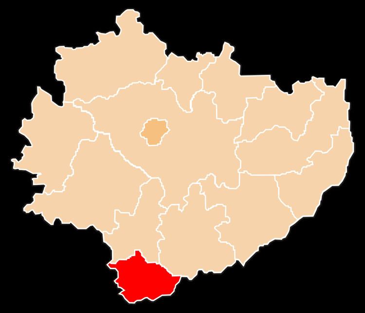
Kazimierza County (Polish: powiat kazimierski) is a unit of territorial administration and local government (powiat) in Świętokrzyskie Voivodeship, south-central Poland. It came into being on January 1, 1999, as a result of the Polish local government reforms passed in 1998. Its administrative seat and largest town is Kazimierza Wielka, which lies 69 kilometres (43 mi) south of the regional capital Kielce. The only other town in the county is Skalbmierz, lying 9 km (6 mi) north-west of Kazimierza Wielka.
Contents
Map of Kazimierza County, Poland
The county covers an area of 422.48 square kilometres (163.1 sq mi). As of 2006 its total population is 35,770, out of which the population of Kazimierza Wielka is 5,730, that of Skalbmierz is 1,323, and the rural population is 28,717.
Neighbouring counties
Kazimierza County is bordered by Pińczów County to the north, Busko County to the north-east, Dąbrowa County to the east, Tarnów County to the south-east, and Proszowice County and Miechów County to the west.
Administrative division
The county is subdivided into five gminas (two urban-rural and three rural). These are listed in the following table, in descending order of population.