Car plates KDA | Area 530 km² | |
 | ||
Gminas Total 7Gmina BolesławGmina Dąbrowa TarnowskaGmina GręboszówGmina MędrzechówGmina OlesnoGmina RadgoszczGmina Szczucin Points of interest Dom Malarek, Muzeum Drogownictwa w Szczuci, Zagroda Felicji Curyłowej, Dunajec, Muzeum Powiśla Dąbrows | ||
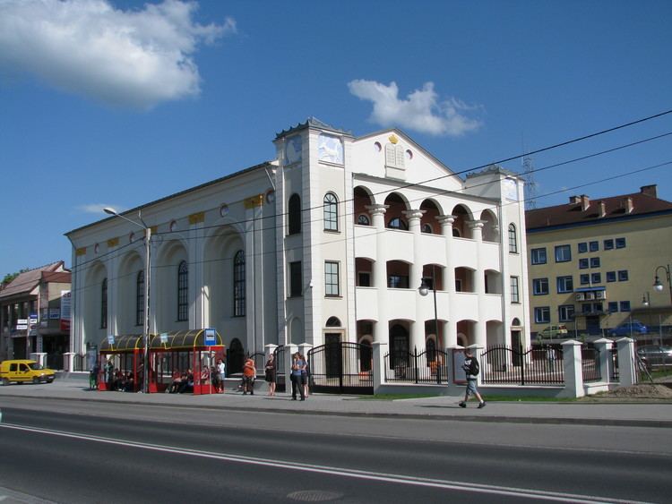
Dąbrowa County (Polish: powiat dąbrowski) is a unit of territorial administration and local government (powiat) in Lesser Poland Voivodeship, southern Poland. It was created on 1 January 1999 as a result of the Polish local government reforms passed in 1998. Its administrative seat is the town of Dąbrowa Tarnowska, which lies 76 kilometres (47 mi) east of the regional capital Kraków. Its only other town is Szczucin, lying 16 km (9.9 mi) north of Dąbrowa Tarnowska.
Contents
Map of D%C4%85browa County, Poland
The county covers an area of 530.0 square kilometres (204.6 sq mi). As of 2006 its total population is 58,572, out of which the population of Dąbrowa Tarnowska is 11,259, that of Szczucin is 4,069, and the rural population is 43,244.
Neighbouring counties
Dąbrowa County is bordered by Busko County and Staszów County to the north, Mielec County and Dębica County to the east, Tarnów County to the south, and Kazimierza County to the west.
Administrative division
The county is subdivided into seven gminas (two urban-rural and five rural). These are listed in the following table, in descending order of population.
