
Car plates TPI Area 611 km² | Population 42,127 (2006) | |
 | ||
Points of interest Muzeum Regionalne w Pińczo, Ogród na Rozstajach, Ośrodek Dziedzictwa Kulturow, Pałac Wielopolskich w Pińczo, St Anne's Chapel - Pińczów | ||
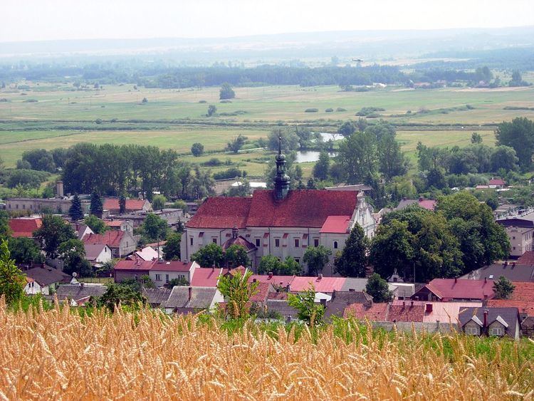
Pińczów County (Polish: powiat pińczowski) is a unit of territorial administration and local government (powiat) in Świętokrzyskie Voivodeship, south-central Poland. It came into being on January 1, 1999, as a result of the Polish local government reforms passed in 1998. Its administrative seat and largest town is Pińczów, which lies 40 kilometres (25 mi) south of the regional capital Kielce. The only other town in the county is Działoszyce, lying 23 km (14 mi) south-west of Pińczów.
Contents
Map of Pi%C5%84cz%C3%B3w County, Poland
The county covers an area of 611.03 square kilometres (235.9 sq mi). As of 2006 its total population is 42,127, out of which the population of Pińczów is 11,886, that of Działoszyce is 1,068, and the rural population is 29,173.
Neighbouring counties
Pińczów County is bordered by Kielce County to the north, Busko County to the east, Kazimierza County to the south, Miechów County to the west and Jędrzejów County to the north-west.
Administrative division
The county is subdivided into five gminas (two urban-rural and three rural). These are listed in the following table, in descending order of population.