
Postal index 56000—56067 Founded 1923 | Established 1923 Time zone EET (UTC+2) Area 1,349 km² Population 19,886 (2015) Area code 5164 | |
 | ||
Subdivisions List 0 — city councils 1 — settlement councils17 — rural councilsNumber of localities: 0 — cities 1 — urban-type settlements62 — villages 8 — rural settlements | ||
Kazanka Raion (Ukrainian: Казанківський район) is located in Mykolaiv Oblast of Ukraine. Its administrative center is the urban-type settlement of Kazanka. Population: 19,886 (2015 est.)
Contents
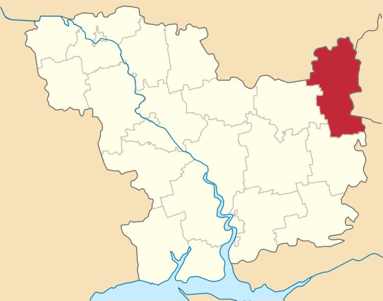
Map of Kazankivs'kyi district, Mykolaivs'ka oblast, Ukraine
History
In 1923, Kazanka Raion of Kryvyi Rih Okruha, with the administrative center in Kazanka, was established as part of Yekaterinoslav Governorate. In 1925, the governorates were abolished, and okruhas were directly subordinated to Ukrainian SSR. In 1930, okruhas were abolished, and on 27 February 1932, Dnipropetrovsk Oblast was established, and Kazanka Raion was included into Dnipropetrovsk Oblast. On 22 September 1937, Mykolaiv Oblast was established on lands which previously belonged to Dnipropetrovsk and Odessa Oblasts, and Kazanka Raion became part of newly created Mykolaiv Oblast. In 1967, Kazanka was granted urban-type settlement status.