
Time zone BST (UTC+6) Area 209.8 km² | ||
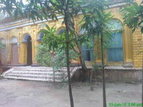 | ||
Kasba (Bengali: কসবা) is an upazila of Brahmanbaria District, Chittagong Division in east-central Bangladesh. Kasba is located approximately 150 km North of Chittagong. It was part of greater Comilla District until 1984.
Contents
Map of Kasba Upazila, Bangladesh
Geography
Kasba is located at 23.7333°N 91.1667°E / 23.7333; 91.1667. It has 40,901 households and a total area of 209.76 km². Kasba is bordered by Akhaura Upazila, Brahmanbaria Sadar Upazila and Nabinagar Upazila on the north, Brahmanpara Upazila on the south, Tripura State of India on the east, and Nabinagar, Muradnagar and Brahmanpara Upazila Upazilas on the west. The geography of the upazila is characterized by low-lying land with small hills and hillocks of red soil.
Demographics
According to the 1991 Bangladesh census, Kasba had a population of 243833. Males constituted 50.69% of the population, and females 49.31%. The majority of the population was Muslim (94.59%), with Hindus at 5.40% and others at 0.01%. The population aged 18 or over was 112,611. Kasba had an average literacy rate of 30.7% (7+ years), compared to the national average of 32.4%.
Administration
The administration for Kasba was founded in 1908 as a police station and upgraded to an upazila (Sub-District) in 1983. There are 1(one) municipality and 10(ten) union councils in Kasba Upazila.The chairman of Kasba Upazila Parishad is advocate Anisul Haque Bhuiyan.
National Assembly (parliament) seat no. '246-Brahmanbaria-4' (Current MP, Advocate Anisul Haq, Minister of Law).