
Country Bangladesh Capital Brahmanbaria Time zone BST (UTC+6) Local time Thursday 7:02 PM | Division Chittagong Division Demonym(s) Beebarian, Brahmin Postal code 3400 | |
 | ||
Website www.brahmanbaria.gov.bd Weather 27°C, Wind SE at 0 km/h, 58% Humidity | ||
Brahmanbaria (Bengali: ব্রাহ্মণবাড়িয়া Bramhonbaŗia) is a district in east-central Bangladesh.
Contents
- Map of Brahmanbaria District Bangladesh
- Administration and demographics
- Education
- Subdivisions
- Parliament constituencies
- Economy
- Geography
- References
Map of Brahmanbaria District, Bangladesh
Administration and demographics
Brahmanbaria District, which was included in Comilla district (formerly Tipura district) was established in 1984. The district has 4 municipalities, 39 wards, 97 mahallas, 9 upazilas, 98 union parishads, 1081 mouzas and 1329 villages.
According to the 2011 Bangladesh census, Brahmanbaria District had 538,937 households and a population of 2,840,498.
Education
Brahmanbaria is part of Comilla Board of Education. Brahmanbaria District has 6 colleges, one Engineering Institutes and one Medical colleges.
Subdivisions
Brahmanbaria district is divided into nine Subdivisions (previously known as Thanas or only one Towns) as below:
Parliament constituencies
There are six Jatiyo Shangshad constituencies in Brahmanbaria district. These constituencies and the current Members of Parliament are:
Economy
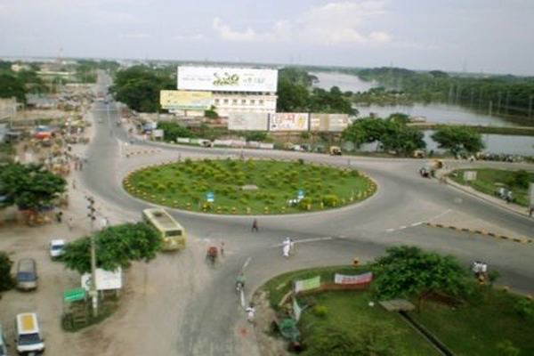
Brahmanbaria is one of the fastest growing districts in the country. The capital city of Brahmanbaria District is booming by new population of the southern Bangladesh. This city has the largest railway junction in the country which is Akhaura.
Geography
Brahmanbaria District is mostly farmland. But within the district many cities can be found. The capital and largest city is Brahmanbaria. Akhaura and Ashuganj ranks also in top three. Prime minister of Bangladesh gave permission to use Ashuganj Port. In addition, Akhaura Station will be connected to Agartala.