
Country India Telephone/STD code 03471 Area 214.2 km² Area code 03471 | Time zone IST (UTC+5:30) Elevation 22 m Population 183,556 (2011) | |
 | ||
PIN 741152 (Karimpur)741158 (Shikarpur) | ||
Karimpur I is a community development block that forms an administrative division in Tehatta subdivision of Nadia district in the Indian state of West Bengal. Karimpur, Hogolberia and Murutia police stations serve this block. Headquarters of this block is at Sikarpur. It is located 75 km from Krishnanagar, the district headquarters.
Contents
Location
Karimpur is located at 23°58′46″N 88°37′19″E.
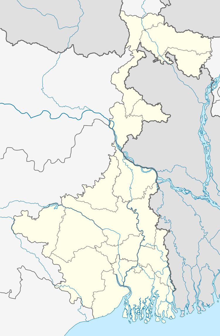
Karimpur I CD Block is bounded by Jalangi and Domkal CD Blocks, in Murshidabad district, in the north, Daulatpur Upazila in Kushtia District of Bangladesh in the east, Karimpur II CD Block in the south and Naoda CD Block, in Murshidabad district, in the west.
Area
Karimpur I CD Block has an area of 214.21 km2.
Physical features
Nadia district is mostly alluvial plains lying to the east of Hooghly River, locally known as Bhagirathi. The alluvial plains are cut across by such distributaries as Jalangi, Churni and Ichhamati. With these rivers getting silted up, floods are a recurring feature.
Gram panchayats
Gram panchayats of Karimpur I block/ panchayat samiti are: Harekrishnapur, Hogalbaria, Jamsherpur, Karimpur I, Karimpur II, Madhugari, Pipulbaria and Shikarpur.
Demographics
As per 2011 Census of India Karimpur I CD Block had a total population of 183,556, of which 160.895 were rural and 5,867 were urban. There were 94,571 (52%) males and 88,985 (48%) females. The population below 6 years was 18,539. Scheduled Castes numbered 32,054 and Scheduled Tribes numbered 5,867.
As per 2001 census, Karimpur I block had a total population 166,763, out of which 86,260 were males and 80,503 were females. Karimpur I block registered a population growth of 15.97 per cent during the 1991-2001 decade. Decadal growth for the district was 19.51 per cent. Decadal growth in West Bengal was 17.84 per cent.
Census towns and large villages
There were two census towns in Karimpur CD Block (2011 census population in brackets): Karimpur (9,661), Uttampur (13,000).
Large villages in Karimpur CD Block (2011 census population figures in brackets): Durlabhpur (4,182), Madhugari (5,356), Andhar Kotha (15,244), Sundalpur (5,303), Jamsherpur (6,689), Gabrudanga (4,365), Senpara (5,432), Pakabutahuda (8,933), Baruipara (9,942), Kechuadanga (7,191) and Anandpur (4,081).
Literacy
As per 2011 census the total number of literates in Karimpur I CD Block was 111,716 (67.70% of the population over 6 years) out of which 59,368 (53%) were males and 52,348 (47%) were females.
As per 2011 census, literacy in Nadia district was 74.97. Literacy in West Bengal was 77.08% in 2011. Literacy in India in 2011 was 74.04%.
Language
Bengali is the local language in these areas.
Transportation
The 251 km long State Highway No. 11 passes through this block. Frequent bus service is available from the district headquarters Krishnanagar and Baharmpur.
Healthcare
Karimpur I block is one of the areas where ground water is affected by arsenic contamination.