
Area 468.8 km² | Time zone BST (UTC+6) | |
 | ||
Website Official Map of Daulatpur | ||
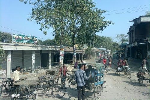
Daulatpur (Bengali: দৌলতপুর (কুষ্টিয়া)) is an Upazila of Kushtia District in the Division of Khulna, Bangladesh.
Contents
Map of Daulatpur Upazila, Bangladesh
Geography
Daulatpur is located at 24.0014°N 88.8750°E / 24.0014; 88.8750. It has 66479 households and total area 468.76 km².
Demographics
As of the 1991 Bangladesh census, Daulatpur has a population of 360706. Males constitute 51.42% of the population, and females 48.58%. This Upazila's eighteen up population is 178539. Daulatpur has an average literacy rate of 20.5% (7+ years), and the national average of 32.4% literate.
Administration
Daulatpur Upazila has 14 unions:
References
Daulatpur Upazila, Kushtia Wikipedia(Text) CC BY-SA