
Vehicle registration 78 Area code 370 Team Kardemir Karabükspor | ||
 | ||
Points of interest Eski Çarşı, Kent Tarihi Müzesi, Kaymakamlar Gezi Evi, Tarihi Cinci Hamamı, Safranbolu Saat Kulesi | ||
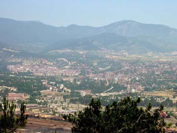
Karabük Province (Turkish: Karabük ili ) is a landlocked province in the northern part of Anatolia (northern central Turkey), located about 200 km (124 mi) north of Ankara, 115 km (71 mi) away from Zonguldak and 113 km (70 mi) away from Kastamonu. In 2010 it had a population of 227,610. The main city is Karabük which is located about 100 km (62 mi) south of the Black Sea coast.
Contents
Map of Karab%C3%BCk, Turkey
Karabük Province is one of the newest provinces of Turkey. Until 1995 it was a district of Zonguldak, when it became an il (provincial center) in its own right. Established in 1995, it comprises Karabük, Eflani, Safranbolu and Yenice districts which were formerly part of Zonguldak Province and Eskipazar and Ovacık districts which were previously part of Çankırı Province.
Karabük is located on the highway between Bartın and Ankara, which was in ancient times an important route between Amasra on the coast and central Anatolia. The railway between Ankara and Zonguldak passes through Karabük.
Safranbolu, a historically important city, which is listed in the UNESCO World Heritage List, is located in Karabük Province.
Districts
Karabük province is divided into 6 districts (capital district in bold):
History
Karabük receive its name from its geography. Its name occurred from combine of “Kara” , black in English, and “Bük”, shrubbery in English.
In Prehistoric Age
Although there are many tumuli and hill towns which give information of history of the region before the invention of writing, due to absence of scientific analysis, we do not have sufficient information. However, as to archeological researches which were done around Eskipazar and Ovacık, the earliest site in this region is “Yazıboy”, which is a village of Eskipazar nowadays. Researches think that one of humulus in this village reach today from b.c. 2500.