
Climate Cfa Area 760 km² | Province Karabük Website www.karabuk.bel.tr Local time Friday 8:43 AM | |
 | ||
Weather 8°C, Wind NE at 3 km/h, 87% Humidity Points of interest Karland Eğlence Merkezi, Karabük Saat Kulesi, Karabük Kent Ormanı | ||
Travel frenzy ep15 turkey 2 safranbolu and karab k
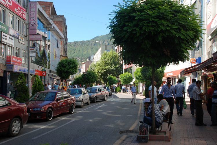
Karabük is a town and the capital district of Karabük Province in the Black Sea region of Turkey. According to the 2009 census, population of the city is 108 167. The district covers an area of 760 km2 (293 sq mi), and the town lies at an elevation of 354 m (1,161 ft).
Contents
- Travel frenzy ep15 turkey 2 safranbolu and karab k
- Map of KarabC3BCk KarabC3BCk Merkez2FKarabC3BCk Turkey
- Name
- History
- Climate
- Economy
- References
Map of Karab%C3%BCk, Karab%C3%BCk Merkez%2FKarab%C3%BCk, Turkey
Karabük was built in the 1930s as the seat of the iron and steel industry of Turkey. Karabük lies in a location near Filyos River formed by the merge of Araç and Soğanlı rivers.
Name
There are no known records of the origin of its name; in Turkish kara means "black" or "land" and bük means "bush" or "blackberry bush" ("bramble"). So Karabük means "blackbush".
History
Karabük is situated on an important trade route between Amasra on the coast and central Anatolia. The history of the city goes back to the early years of the Turkish Republic, when it was a small sub-village formed by 13 houses in the Öğlebeli village of Safranbolu. There was also a small train station on the Ankara–Zonguldak route. The town started to develop with the industrialization of the country. One of the first steel factories of the Republic was built here in 1939, after which it grew rapidly and incorporated Öğlebeli village as a quarter. Karabük became a municipality and then a township in the Safranbolu district in 1941. It became a district center in 1953 and a provincial center in 1995.
Hadrianapolis (now Eskipazar) is an ancient city from the Roman Empire of the 4th century, located about 3 km from Karabük. There are many fountains, churches, and Roman baths. Although most of it is recently excavated, illegal excavations which have been going on for many years have damaged Eskipazar's chances of becoming a major tourist attraction.
Climate
Karabük has a humid subtropical climate (Köppen: Cfa) with hot and humid summers and cool and wet winters.
Economy
Karabük has its own resources of dolomite and limestone, while coal and manganese is brought from Zonguldak and iron ore from Divriği. This allows a varied, yet basic industry in Karabük, including a coking plant, blast furnaces, a foundry and tube works. There are also chemical plants that produce sulfuric acid and phosphates. Nearby are the Zonguldak coal fields.
One of the major steel producers in Turkey, namely Kardemir (Karabük Iron and Steel Works), is located in Karabük.