
Country United States Elevation 202 m Local time Thursday 5:07 PM | GNIS feature ID 0453520 Area 67.26 km² Population 988 (2010) | |
 | ||
Weather 4°C, Wind N at 23 km/h, 53% Humidity | ||
Kankakee Township is one of thirteen townships in Jasper County, Indiana, United States. As of the 2010 census, its population was 988 and it contained 410 housing units.
Contents
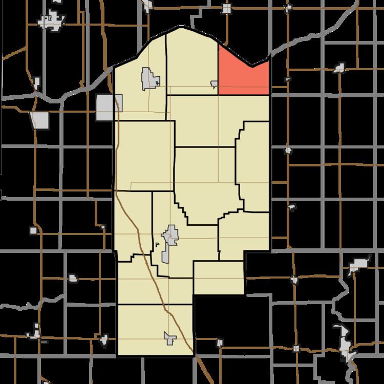
- Map of Kankakee Township IN USA
- Geography
- Unincorporated towns
- Adjacent townships
- Major highways
- References
Map of Kankakee Township, IN, USA
Kankakee Township was established in 1856.
Geography
According to the 2010 census, the township has a total area of 25.97 square miles (67.3 km2), of which 25.27 square miles (65.4 km2) (or 97.30%) is land and 0.7 square miles (1.8 km2) (or 2.70%) is water.
Unincorporated towns
Adjacent townships
Major highways
References
Kankakee Township, Jasper County, Indiana Wikipedia(Text) CC BY-SA