
Country United States Elevation 200 m Local time Saturday 3:30 PM | GNIS feature ID 0454050 Area 112.6 km² Population 4,395 (2010) | |
 | ||
Weather 14°C, Wind N at 16 km/h, 32% Humidity | ||
Wheatfield Township is one of thirteen townships in Jasper County, Indiana, United States. As of the 2010 census, its population was 4,395 and it contained 1,658 housing units.
Contents
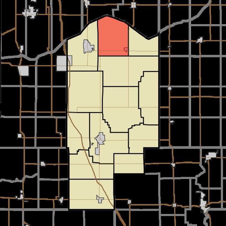
- Map of Wheatfield Township IN USA
- Geography
- Cities and towns
- Unincorporated towns
- Adjacent townships
- Major highways
- References
Map of Wheatfield Township, IN, USA
Wheatfield Township was established in 1858.
Geography
According to the 2010 census, the township has a total area of 43.47 square miles (112.6 km2), of which 43.36 square miles (112.3 km2) (or 99.75%) is land and 0.11 square miles (0.28 km2) (or 0.25%) is water. The stream of Delehanty Ditch runs through this township.
Cities and towns
Unincorporated towns
Adjacent townships
Major highways
References
Wheatfield Township, Jasper County, Indiana Wikipedia(Text) CC BY-SA