
Country United States GNIS feature ID 453779 Area 94.92 km² Population 1,226 (2010) | ZIP codes 46366, 46374 Elevation 207 m Local time Thursday 9:37 AM | |
 | ||
Weather 0°C, Wind SE at 21 km/h, 35% Humidity | ||
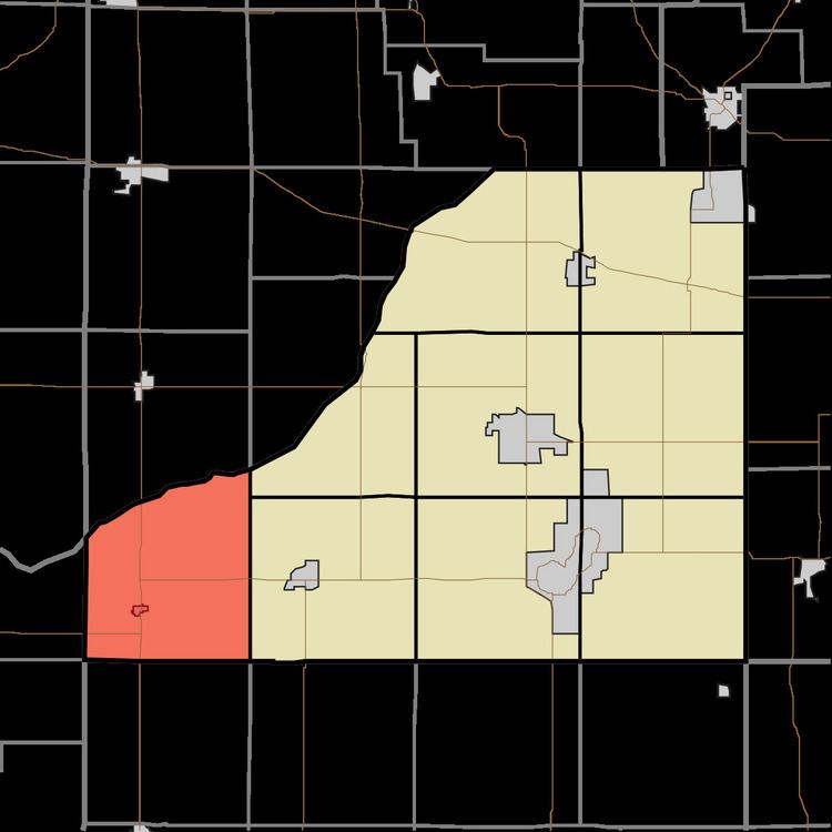
Railroad Township is one of nine townships in Starke County, in the U.S. state of Indiana. As of the 2010 census, its population was 1,226 and it contained 549 housing units.
Contents
- Map of Railroad Township IN USA
- Geography
- Cities towns villages
- Unincorporated towns
- Adjacent townships
- Cemeteries
- Major highways
- School districts
- Political districts
- References
Map of Railroad Township, IN, USA
Geography
According to the 2010 census, the township has a total area of 36.65 square miles (94.9 km2), of which 36.61 square miles (94.8 km2) (or 99.89%) is land and 0.04 square miles (0.10 km2) (or 0.11%) is water. It is bordered on the north by the Kankakee River.
Cities, towns, villages
Unincorporated towns
(This list is based on USGS data and may include former settlements.)
Adjacent townships
Cemeteries
The township contains All Saints Cemetery.
Major highways
School districts
Political districts
References
Railroad Township, Starke County, Indiana Wikipedia(Text) CC BY-SA