
GNIS feature ID 0468049 Area 92.7 km² Local time Monday 8:01 PM | Time zone CST (UTC-6) Elevation 279 m Population 222 (2000) | |
 | ||
ZIP codes 52224, 52225, 52229, 52249 Weather -5°C, Wind N at 16 km/h, 75% Humidity | ||
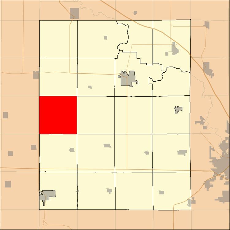
Homer Township is one of twenty townships in Benton County, Iowa, USA. As of the 2000 census, its population was 222.
Contents
- Map of Homer IA USA
- Geography
- Unincorporated towns
- Adjacent townships
- Cemeteries
- School districts
- Political districts
- References
Map of Homer, IA, USA
Geography
According to the United States Census Bureau, Homer Township covers an area of 35.8 square miles (92.72 square kilometers).
Unincorporated towns
(This list is based on USGS data and may include former settlements.)
Adjacent townships
Cemeteries
The township contains these two cemeteries: Houghton and Twogood.
School districts
Political districts
References
Homer Township, Benton County, Iowa Wikipedia(Text) CC BY-SA