
PIN 686668 Area 23.95 km² Population 12,838 (2001) | Time zone IST (UTC+5:30) Telephone code 0485 Local time Saturday 11:17 AM Area code 0485 | |
 | ||
Weather 31°C, Wind W at 5 km/h, 63% Humidity | ||
Kalloorkad is a village in Ernakulam district in Kerala, India. Most of its people are either farmers or engaged in small-scale business.
Contents
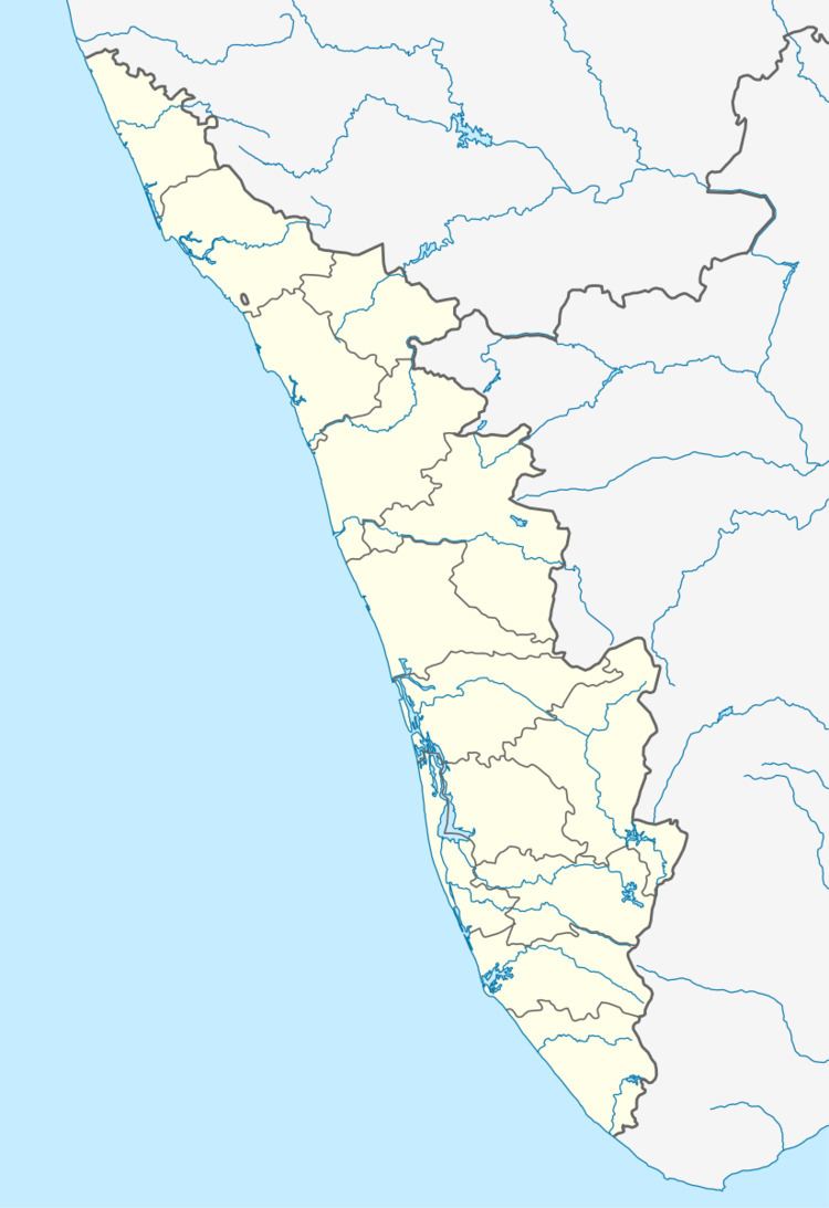
Map of Kalloorkad, Kerala 686668
Location
Kalloorkad is situated in Muvattupuzha taluk of Kerala State, 13 km from Muvattupuzha, 12 km from Thodupuzha, and 5 km from Vazhakulam. Kalloorkad village is located in the border of Ernakulam district very near to Idukki district. The economy of Kalloorkad is reliant on agriculture, and the main cultivations are rubber and pineapple. The village is well connected with towns like Thodupuzha, Muvattupuzha and Kothamangalam through local bus transport and there are some KSRTC buses also present in there.
Demographics
As of 2001 census, Kalloorkkad had a population of 12838 with 6460 males and 6378 females. The town is mainly made up of Syrian Catholic Christians and Hindus. Muslims are very rare compared to other nearby places. It is a panchayat and it has minor towns such as Kalloorkad, Nakapuzha, and Kaloor. There are three high schools ,two upper primary schools and one higher secondary school. St. Mary's Church Nakapuzha is a famous Marian pilgrim center in Kerala, where many are coming during the festivals. The festival is from September 1 to September 15. There are two more churches one in Kalloorkad and other in Kaloor.
Government
The place falls under Muvattupuzha assembly constituency, which is part of Idukki (Lok Sabha constituency). It was part of Muvattupuzha (Lok Sabha constituency) until 2004.