
 | ||
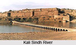
Kali sindh river baran
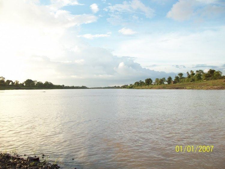
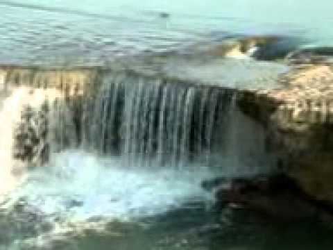
The Kali Sindh (Hindi : काली सिंध) is a river in the Malwa region of Madhya Pradesh, that joins the Chambal River at downstream of Sawai Madhopur in Rajasthan. It belongs to the Ganges Basin. The Kali Sindh originates from Bagli (District Dewas) in Madhya Pradesh. It crosses the State Highway No 18 connecting Indore and state capital Bhopal near Sonkatch and blocks the road traffic for hours when flooded. The main tributaries of the Kali Sindh are Parwan, Niwaj and Ahu Rivers.
Contents
- Kali sindh river baran
- Origin
- Course
- Geography of Kali Sindh River
- Major tributaries
- Historical places
- References
Origin
The Kali Sindh originates from Bagli (District Dewas) in Madhya Pradesh.
Course
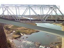
It crosses the State Highway No 18 connecting Indore and state capital Bhopal near Sonkatch (Dewas district in Madhya Pradesh) and blocks the road traffic for hours when in flood. It crosses Shajapur district. Then it makes boundary of Shajapur and Rajgarh districts and enters Jhalawar and Kota districts of Rajasthan. It joins the Chambal River at downstream of Sawai Madhopur in Rajasthan. It joins Chambal at Nonera village in Baran district of Rajasthan.
The Kali Sindh River is the biggest river flowing in the Malwa region of Madhya Pradesh state. Madhya Pradesh is a prominent state of India where the river covers the maximum portion of Malwa region. The river then joins Chambal River at the downstream of Sawai Madhopur in Rajasthan state.
The river belongs to the Yamuna basin, being one of the perpetual streams of the state, it is fed by Ahu, Niwaj and Parwan Rivers. The origin point of the river is Vindhya Range and then flowing down further to the north direction through Baran and Jhalawar district. The river meets the Chambal River at Nonera village in Baran district.
The popular place where the Kali Sindh River enters in Rajasthan is in Binda village. The total distance covered by the Kali Sindh River in Rajasthan is 145 kilometers.
Geography of Kali Sindh River
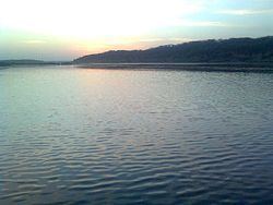
The geography of the Kali Sindh River shows an extensive aluminum deposits and flood plains. In the monsoon season, it sometimes reaches to the supreme water level. The geology of the Kali Sindh River points out the productive alluvial plains of the river basin.
Major tributaries
The main tributaries of the Kali Sindh River are: