
Elevation 1,180 m Number of airports 1 | Time zone EAT (UTC+3) Local time Saturday 12:03 AM | |
 | ||
Weather 20°C, Wind S at 5 km/h, 92% Humidity | ||
Kajjansi is a township in Central Uganda. It is one of the urban centers in Wakiso District.
Contents
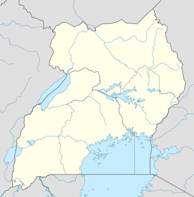
Map of Kajjansi, Uganda
Location
The township is situated on the tarmacked, all-weather Kampala - Entebbe Road. Kajjansi is located approximately 16 kilometres (9.9 mi), by road, south of Kampala, Uganda's capital and largest city. This location is approximately 25 kilometres (16 mi), by road, north of Entebbe International Airport, Uganda's largest civilian and military airport. The coordinates of Kajjansi are:0°12'54.0"N, 32°33'00.0"E (Latitude:0.2150; Longitude:32.5500).
Population
In 2006, the population of Kajjansi was estimated at about 7,53 0.
Points of interest
The following points of interest lie within the town limits or close to the edges of town:
References
Kajjansi Wikipedia(Text) CC BY-SA