
Palestine grid 157/163 | ||
 | ||
Name meaning "Village of the Rooster", "The Village" Weather 14°C, Wind N at 8 km/h, 66% Humidity | ||
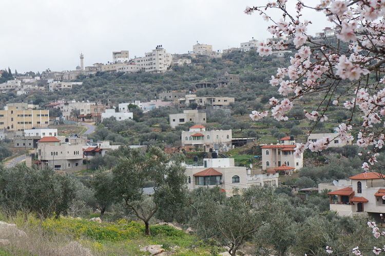
Kafr ad-Dik (Arabic: كفر الديك) is a Palestinian town located 9.5 kilometers west of Salfit in the Salfit Governorate, in the northern West Bank and eight kilometers east of the Green Line. According to the Palestinian Central Bureau of Statistics (PCBS), the town had a population of 4,453 in 2007.
Contents
Map of Kufr al-Dik
Approximately 70% of the families in Kafr ad-Dik are dependent on agriculture as the main source of income, while the remaining 30% work in the private and public sectors. The unemployment rate in the town is 60%.
The town's total land area consists of 15,228 dunams of which 578 dunams are built-up. However, 119 of those dunums is located outside Kafr ad-Dik's jurisdiction. There are five Israeli settlements built on 1,448 dunams of Kafr ad-Dik's land and the population of the settlers is 2,062. As a result of the Interim Agreement on the West Bank and the Gaza Strip, the Palestinian National Authority controls the civil affairs 1,953 dunums of Kafr ad-Dik's land (Area B), while 13,275 dunams are classified as Area C — which is under full Israeli control.
History
It has been suggested that this is the place mentioned in Crusader sources under the name of Caphaer; a village connected with the Casale Santa Maria. In 1175, Crusader sources mentions a former cistern-keeper of the village.
The coat of arms the Mamluk Sultan Qaitbay has been found in a mosque in the village.
Ottoman era
In 1870 French explorer Victor Guérin found here very considerable remains. They included two birkets cut in the rock, one 15 paces long by 12 broad, the other not quite so large; about 30 cisterns and 20 tombs cut in the rock, some with sepulchral chambers, their walls pierced with loculi, others simple graves, either intended for a single body or having right and left vaulted tombs with arcosolia. These graves were formerly covered with stone slabs. There were also several lintels, decorated with the rectangular cartouche, on either side of which were triangles, and in the middle a cross. There are four mosques, built with stones and columns belonging to a Christian church. There is also a square tower, measuring 7 paces on each side. It is lit by loopholes, and is covered with immense slabs forming a roof, and supported by vaulted arcades. Within it is a cistern. On the lintel is a cross with equal branches inserted in a circle near four semicircles, which lie in a four-leaved rose. This tower formed part of a larger building, now destroyed.
Guérin noticed houses which were constructed from red and white stone masonry, as in Deir Ghassaneh and Beit Rima. In 1882, the Palestine Exploration Fund's "Survey of Western Palestine" described the village as being "of moderate size on the hillside, and an ancient site, having rock-cut tombs to the east."
British Mandate period
In the 1922 census of Palestine conducted by the British Mandate authorities, Kufr al-Dik had a population of 487, all Muslim, increasing in the 1931 census to 655, still all Muslim, in 139 houses.
In 1945 the population was 870, all Muslims, while the total land area was 15,308 dunams, according to an official land and population survey. Of this, 2,075 were used for plantations and irrigable land, 2,603 for cereals, while 58 dunams were classified as built-up areas.
1948-1967
In the wake of the 1948 Arab–Israeli War, and after the 1949 Armistice Agreements, Kafr ad-Dik came under Jordanian rule.
1967-present
After the Six-Day War in 1967, Kafr ad-Dik has been under Israeli occupation.
After an Israeli court approved the confiscation of 3,000 dunams (750 acres) of private Palestinian land in Kafr ad-Dik's Thahir Subih neighborhood, bulldozers were called in and reportedly uprooted dozens of olive trees and fruit trees while leveling over 10,000 dunams (2,500 acres). The Israel Civil Administration spokesperson said the works related to a state-backed plan to develop the area's agriculture. In Israel's view, the spokesperson added, these are Israeli state lands.