
Length 12 km (7.5 mi) Coastline 50 km (31 mi) Highest point Store Kågtinden Area 85.7 km² | Width 12.7 km (7.89 mi) Highest elevation 1,228 m (4,029 ft) Elevation 1,228 m Municipality Skjervøy | |
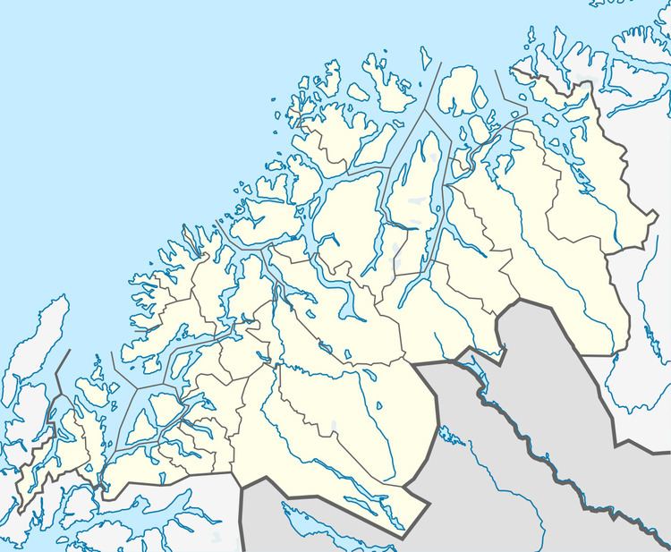 | ||
Kågen (Northern Sami: Gávvir) is an island in the municipality of Skjervøy in Troms county, Norway. It has an area of 85.7 square kilometres (33.1 sq mi) and the island is home to 27 inhabitants (2001). The island is mountainous with several peaks over 1,000 metres (3,300 ft) above sea level. The highest point is the 1,228-metre (4,029 ft) tall mountain Store Kågtind. Kågen is the 52nd largest island in Norway.
Map of K%C3%A5gen, 9180 Skjerv%C3%B8y, Norway
There is a ferry connection with Arnøya and Laukøya to the north, the Skjervøy Bridge connects to the island Skjervøya to the east, and the undersea Maursund Tunnel connects the island to the mainland to the south.
References
Kågen Wikipedia(Text) CC BY-SA