
Length 23.6 km (14.66 mi) Coastline 91 km (56.5 mi) Highest point Arnøyhøgda Municipality Skjervøy | Width 14.4 km (8.95 mi) Highest elevation 1,168 m (3,832 ft) Area 276 km² | |
 | ||
Location Skjervøy, Troms, Norway | ||
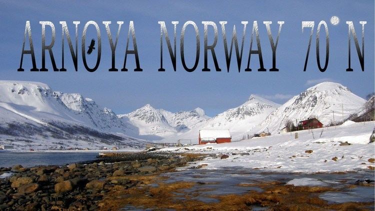
Arnøya or Arnøy is an island in the municipality of Skjervøy in Troms county, Norway. Its area is 276 square kilometres (107 sq mi). The highest peak is the 1,168-metre (3,832 ft) tall mountain Arnøyhøgda. Arnøya is the 15th largest island in Norway. There are regular ferry connections from Laukøya and Kågen to this island, but there are no road connections to the island. Arnøy Church is located on the southern shore of the island.
Map of Arn%C3%B8ya, Skjerv%C3%B8y municipality, Norway
The villages of Årviksand, Arnøyhamn, Akkarvik, and Lauksletta are located on the island. The island of Laukøya is located just to the east, Skjervøya and Kågen are to the southeast, and Vannøya is to the west. The Ullsfjorden lies to the west, the Lyngen fjord lies to the south, the Kvænangen fjord lies to the east, and the Norwegian Sea lies to the north.
The Lyngen Alps south of Arnøya is popular amongst extreme skiers and Arnøya is also becoming a popular skiing destination. Historic photos and information (Norwegian) is presented on the Arnøyhamn home page.