Kalpana Kalpana (Editor)

Japan National Route 5

Updated on
Edit
Like
Comment
Share on FacebookTweet on TwitterShare on LinkedInShare on Reddit
Length
  
297.2 km

Japan National Route 5

South end:
  
National Route 278 / National Route 279 in Hakodate, Hokkaidō

North end:
  
National Route 12 in Chūō-ku, Sapporo

Highway system
  
National highways of Japan

Major cities
  
Otaru, Niseko, Kutchan, Oshamanbe, Rankoshi

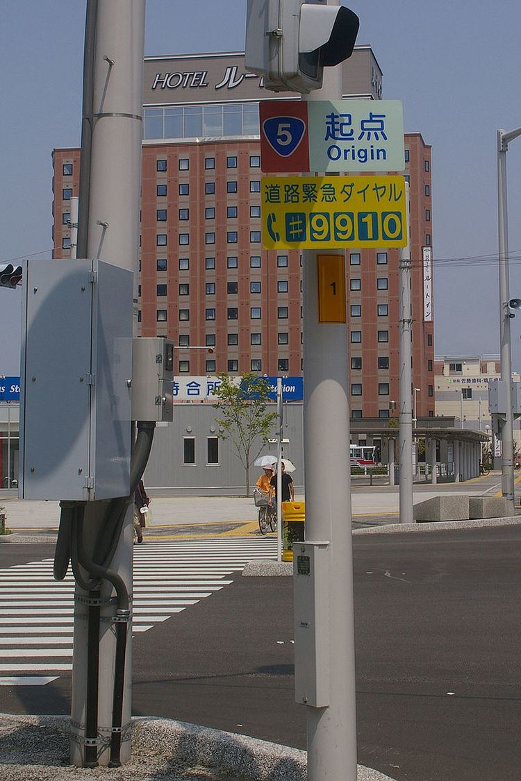
National Route 5 (国道5号) is a major highway on the island of Hokkaidō in Japan. Its southern terminus is in Hakodate and its northern end in Sapporo. En route, it passes through Otaru.

Contents

Map of Japan, Hokkaid%C5%8D, %E5%9B%BD%E9%81%935%E5%8F%B7%E7%B7%9A

History

  • 1952-12-04 - First Class National Highway 5 (from Hakodate to Sapporo)
  • 1965-04-01 - General National Highway 5 (from Hakodate to Sapporo)
  • Overlapping sections

  • In Oshamanbe, from Kunnui intersection to Asahihama intersection: Route 230
  • From Kutchan (North-4 West-1 intersection) to Kyōwa (Kunitomi intersection): Route 276
  • From Yoichi (Yoichi Station intersection) to Otaru (Inaho 2-18 intersection): Route 229
  • Municipalities passed through

  • Oshima Subprefecture
  • Hakodate - Nanae - Mori - Yakumo - Oshamanbe
  • Shiribeshi Subprefecture
  • Kuromatsunai - Rankoshi - Niseko - Kyōwa - Niki - Yoichi - Otaru
  • Ishikari Subprefecture
  • Sapporo
  • References

    Japan National Route 5 Wikipedia