Population 23,829 (2001) | District Amritsar Time zone IST (UTC+5:30) Local time Sunday 12:38 PM | |
 | ||
Weather 27°C, Wind W at 8 km/h, 47% Humidity | ||
Jandiala Guru or commonly known as Jandiala is a town in the Amritsar district of Majha region of Eastern Punjab (India). It is located on the Grand Trunk Road and has an altitude of 229 m (754 ft).
Contents
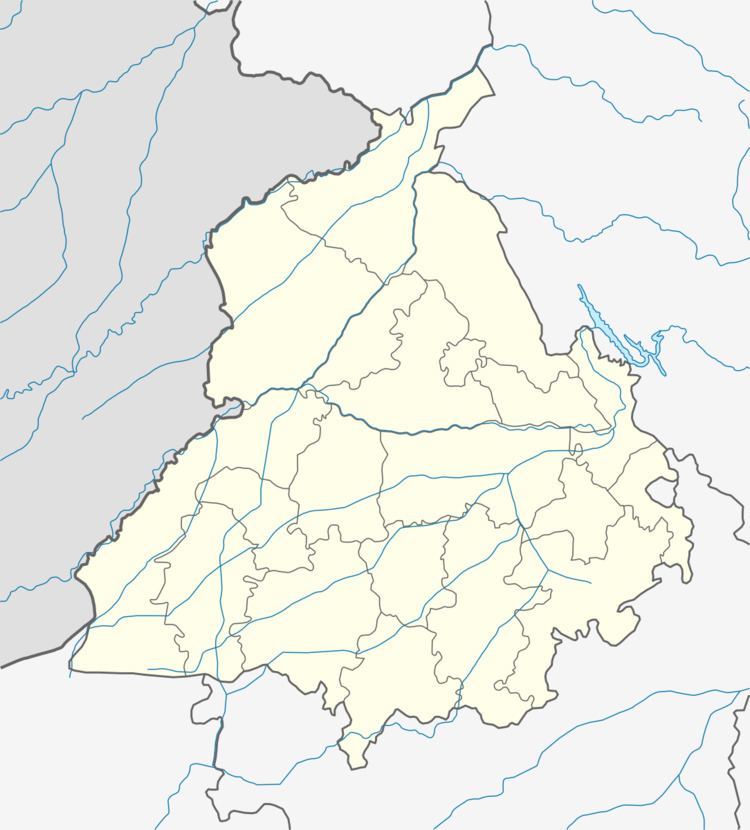
Map of Jandiala Guru, Punjab 143115
History
Jandiala Guru is named after Jand, the son of the founder. The municipality was created in 1867 during the colonial period of British rule and formed part of Amritsar Tehsil. The town was situated on the route of the North-Western Railway. The population according to the 1901 census was 7,750, and the revenue of the town in 1903-4 was Rs. 8,400, mainly from octroi.
Previously, it was surrounded by a mud wall and had seven gates. Some of these gates, at least their ramparts are still intact.
At the turn of 21st century the population was estimated at about 100,000. Large communities are Ghangas (Jatts), Jains (mainly jewelers, grain Merchants, and businessmen), Malhotras (Khatri), Kamboj & Thathiars (Steel Utencil makers), Harijans and Christians. Large concentration of these skillful artisans make Jandiala Guru the hub for jewelry and utencils for the surrounding areas.
Previously, it was surrounded by a mud wall and had seven gates. Some of these gates or their outside remains can still be seen.
The town has religious diversity. A number of popular and well visited religious places for Sikhs, Hindus, Jains and Muslims exist in and around the town. A historical Gurudwara of Baba Handal (Baba Handal Tap Asthan) is well known and well visited religious place.
