
GNIS feature ID 453366 Area 157.8 km² Population 6,869 (2010) | ZIP codes 47879, 47882 Elevation 156 m Local time Wednesday 8:53 AM | |
 | ||
Weather -7°C, Wind W at 16 km/h, 65% Humidity | ||
Hamilton Township is one of nine townships in Sullivan County, Indiana, United States. As of the 2010 census, its population was 6,869 and it contained 3,211 housing units.
Contents
- Map of Hamilton Township IN USA
- Geography
- Cities towns villages
- Unincorporated towns
- Adjacent townships
- Cemeteries
- Major highways
- Airports and landing strips
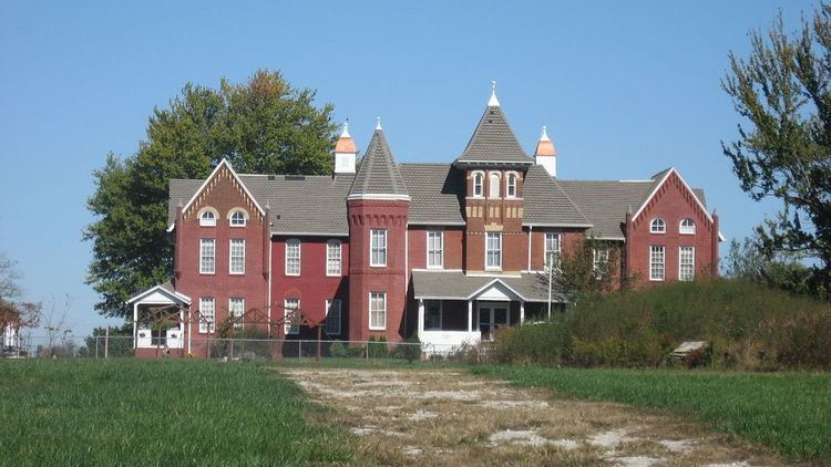
- Landmarks
- School districts
- Political districts
- References
Map of Hamilton Township, IN, USA
Geography
According to the 2010 census, the township has a total area of 60.91 square miles (157.8 km2), of which 59.58 square miles (154.3 km2) (or 97.82%) is land and 1.33 square miles (3.4 km2) (or 2.18%) is water.
Cities, towns, villages
Unincorporated towns
(This list is based on USGS data and may include former settlements.)
Adjacent townships
Cemeteries
The township contains these eleven cemeteries: Brodie, Center Ridge, Coffman, Free, Good Hope, Little Flock, Moore, Morgan, Spencer, Timmons and Walls.
Major highways
Airports and landing strips
Landmarks
School districts
Political districts
References
Hamilton Township, Sullivan County, Indiana Wikipedia(Text) CC BY-SA