
Country United States GNIS feature ID 453375 Area 59.54 km² Population 543 (2010) | ZIP codes 47331, 47353 Elevation 228 m Local time Thursday 7:37 PM | |
 | ||
Weather 4°C, Wind SW at 8 km/h, 28% Humidity | ||
Harmony Township is one of six townships in Union County, Indiana, United States. As of the 2010 census, its population was 543 and it contained 233 housing units.
Contents
- Map of Harmony IN USA
- Geography
- Unincorporated towns
- Adjacent townships
- Cemeteries
- School districts
- Political districts
- References
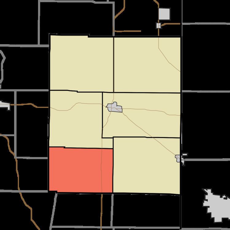
Map of Harmony, IN, USA
Geography
According to the 2010 census, the township has a total area of 22.99 square miles (59.5 km2), of which 20.65 square miles (53.5 km2) (or 89.82%) is land and 2.34 square miles (6.1 km2) (or 10.18%) is water.
Unincorporated towns
Adjacent townships
Cemeteries
The township contains these two cemeteries: New Hope and Old Bath Springs.
School districts
Political districts
References
Harmony Township, Union County, Indiana Wikipedia(Text) CC BY-SA