
ZIP codes 50514, 50578 Elevation 386 m Local time Monday 10:10 AM | Time zone CST (UTC-6) GNIS feature ID 0467703 Area 93.2 km² Population 588 (2000) | |
 | ||
Weather 14°C, Wind S at 45 km/h, 88% Humidity | ||
Denmark Township is one of twelve townships in Emmet County, Iowa, USA. As of the 2000 census, its population was 588.
Contents
- Map of Denmark IA USA
- History
- Geography
- Cities towns villages
- Unincorporated towns
- Adjacent townships
- Cemeteries
- Major highways
- School districts
- Political districts
- References
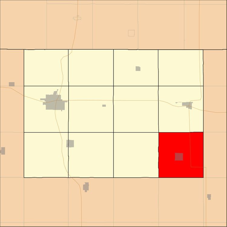
Map of Denmark, IA, USA
History
Denmark Township was created in 1883. It was named in honor of a group of Danish families who had arrived shortly before the establishment of the township.
Geography
According to the United States Census Bureau, Denmark Township covers an area of 35.5 square miles (91.94 square kilometers).
Cities, towns, villages
Unincorporated towns
(This list is based on USGS data and may include former settlements.)
Adjacent townships
Cemeteries
The township contains these three cemeteries: Ringsted Memorial, Saint Johns Lutheran and Saint Pauls.
Major highways
School districts
Political districts
References
Denmark Township, Emmet County, Iowa Wikipedia(Text) CC BY-SA