Country Austria Time zone CET (UTC+1) Area 10.44 km² Population 1,147 (1 Apr 2009) Area code 05335 | Elevation 703 m (2,306 ft) Vehicle registration KB Local time Friday 3:22 AM Postal code 6305 | |
 | ||
Weather 3°C, Wind S at 8 km/h, 86% Humidity | ||
Itter is a municipality in the Kitzbühel District in the Austrian state of Tyrol located 18.60 km west of Kitzbühel, 5 km southeast of Wörgl, and 2.5 km north of Hopfgarten im Brixental. The village lies on a terrace above the Brixental valley and its main source of income is tourism.
Contents
Map of 6305 Itter, Austria
Sights
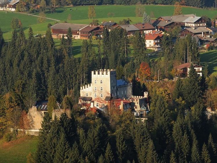
The small castle of the village, Itter Castle, was a prison for French high personalities during World War II. Two days before the war ended, a battle was fought there against the Waffen SS, the only occasion when American and German forces fought on the same side during the war.
References
Itter Wikipedia(Text) CC BY-SA
