
Area code 05335 Elevation 622 m Local time Tuesday 4:42 PM | Time zone CET (UTC+1) Vehicle registration KB Population 5,528 (1 Apr 2009) Postal code 6361 | |
 | ||
Weather 13°C, Wind NW at 8 km/h, 33% Humidity | ||
Appartements strobl hopfgarten im brixental austria amazing place
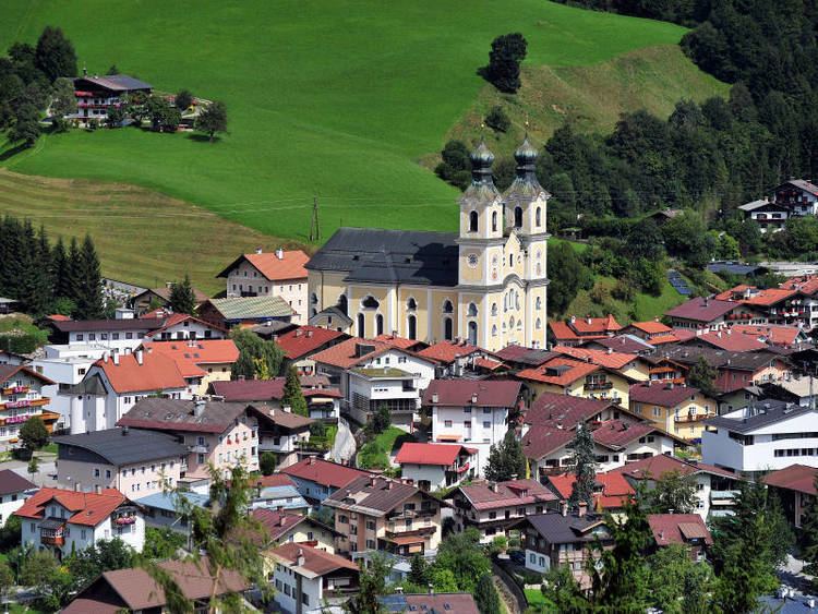
Hopfgarten im Brixental is a market town in the Austrian state of Tyrol in the Kitzbühel district. It is located at an elevation of 622 m above sea level. With an area of 166.57 km² it is the largest municipality in the district, and among the largest in Tyrol.
Contents
- Appartements strobl hopfgarten im brixental austria amazing place
- Map of Hopfgarten im Brixental Austria
- Tourism
- References
Map of Hopfgarten im Brixental, Austria
Tourism
It is a popular place for all levels of skier with a variety of slopes ranging from black slopes for expert skiers to nursery slopes for beginners, and featuring a ski school. There are also many neighbouring towns with an extended variety of slopes including Itter a perfect slope for those early skiing lessons. A trip on the gondola is worth doing if just for the view at the top. You can even parapent off the top if you choose.
For the non-thrill-seekers there are also plenty of options. You can visit one of the typical Austrian restaurants such as the Gasthof Traube where you can try meals such as schnitzel, strudel or noodles. It also has a renowned church with a wonderful ceiling.