
Elevation 348 m (1,142 ft) Area 2,044 km² | Microregion Rio Vermelho Time zone BRT/BRST (UTC-3/-2) | |
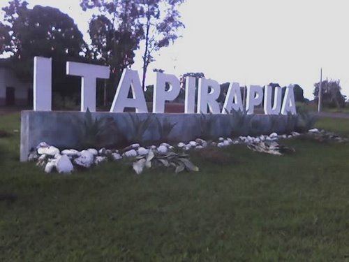 | ||
Itapirapuã is a municipality in the state of Goiás in Brazil. The population is 6,776 (2015 est.) in an area of 2,044 km². Itapirapuã is a large producer of cattle.
Contents
- Map of ItapirapuC3A3 State of GoiC3A1s Brazil
- Location and Boundaries
- Demographic data
- Economic Data
- Agriculture
- Education 2006
- Health 2007
- History
- References
Map of Itapirapu%C3%A3 - State of Goi%C3%A1s, Brazil
Location and Boundaries
Highway communications with Goiânia are made by GO-070 / Goianira / Inhumas / Itaberaí / BR-070 / Goiás / Uvá. See Sepin for all the distances.
Municipal boundaries:
Demographic data
The population growth rate from 2000 to 2007 was -3.92%. This showed a marked decline when compared to previous data. Out of the total population 5,656 were considered urban (2007).
Economic Data
Cattle raising, services, small industries, and agriculture are the main economic activities.
Agriculture
There were 243,500 head of cattle in 2006, one of the largest herds in the state. The main crops in planted area were bananas, beans, corn, manioc, rice, and soybeans. None exceeded 1,000 hectares in planted area.
Education (2006)
Health (2007)
History
Settlement began in 1892 with the building of an army telegraph line and station between the city of Goiás (then the state capital) and Mato Grosso, breaking the isolation of the area. The name chosen was Itapirapuã, meaning "white stone from the pool of the fish", because it was near a deep pool in the river where a whirlpool was formed around a white stone. After half a century of stagnation the settlement received a push forward with the selling by the local government of lots to new settlers. In 1953 it became a district of Goiás, and in 1959 it separated from Goiás and became an independent municipality.